 Amble
Alwalton
West Midlands
Carn
Manaton
Ludlow
Ballymena
Milton Keynes
Carrickfergus
London Southend Airport
Worthing
Scorton
Chesterfield
Conington
Highland
Bangor
Mellis
Ryde
Earby
Amble
Alwalton
West Midlands
Carn
Manaton
Ludlow
Ballymena
Milton Keynes
Carrickfergus
London Southend Airport
Worthing
Scorton
Chesterfield
Conington
Highland
Bangor
Mellis
Ryde
Earby
Crawley on the map, United Kingdom
Where is located Crawley
Exact location — Crawley, West Sussex, England, United Kingdom, marked on the map with a red marker.
Coordinates
Crawley, United Kingdom coordinates in decimal format: latitude — 51.1091401, longitude — -0.1872275. When converted to degrees, minutes, seconds Crawley has the following coordinates: 51°6′32.9 north latitude and -0°11′14.02 east longitude.
Population
Crawley, West Sussex, England, United Kingdom, according to our data the population is — 107,061 residents, which is about 0.2% of the total population of the country (United Kingdom).
Comparison of the population on the graph:
Exact time
Time zone for this location Crawley — UTC +1 Europe/London. Exact time — saturday, 4 april 2024 year, 05 h. 41 minute.
Sunrise and sunset
Crawley, sunrise and sunset data for a date — saturday 20.04.2024.
| Sunrise | Sunset | Day (duration) |
|---|---|---|
| 05:57 -2 minutes | 20:01 +2 minutes | 14 h. 6 minutes. +4 minutes |
You can control the scale of the map using the auxiliary tools to find out exactly where it is located Crawley. When you change the scale of the map, the width of the ruler also changes (in kilometers and miles).
Nearby cities
The largest cities that are located nearby:
- Sutton — 28 km
- Eastbourne — 50 km
- Slough — 53 km
- Gillingham — 59 km
- Watford — 62 km
- Reading — 67 km
- Basildon — 69 km
- Portsmouth — 71 km
- Southend-on-Sea — 78 km
- Chelmsford — 83 km
- Luton — 87 km
- Southampton — 88 km
- Oxford — 102 km
- Swindon — 120 km
- Cambridge — 123 km
- Bournemouth — 126 km
- Northampton — 134 km
- Ipswich — 139 km
- Cheltenham — 156 km
Distance to neighboring capitals:
- Paris
 (France) — 309 km
 - Paris (France) — 309 km
- Brussels
 (Belgium) — 319 km
 - Amsterdam
 (Netherlands) — 377 km
 - Dublin
 (Ireland) — 483 km
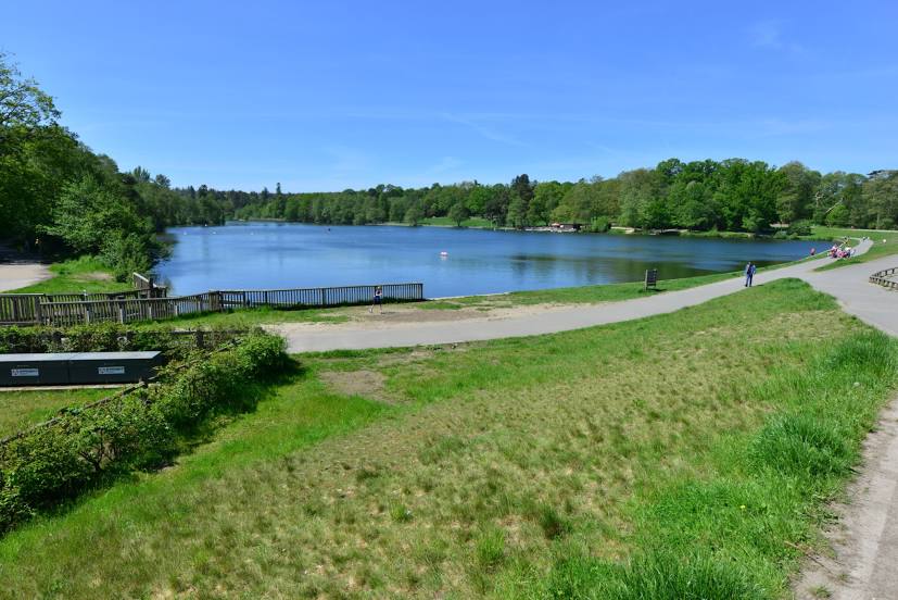
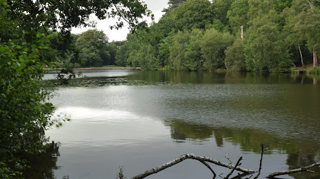
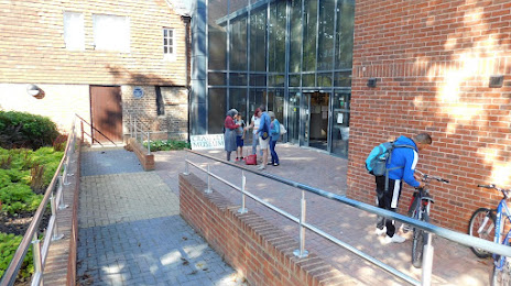
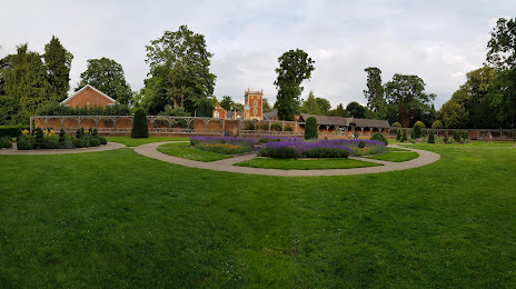
Attractions


Distance to the capital
Distance to the capital (London) is about — 44 km.