 Camborne
Lochboisdale
Market Drayton
Hurn
Leeming
Leuchars
Reigate
Berwick-upon-Tweed
Aviemore
Burton Latimer
Dipton
Penmaen
Montrose
Marden
March
Tonbridge
Cookstown
Carrickfergus
Milton Keynes
Camborne
Lochboisdale
Market Drayton
Hurn
Leeming
Leuchars
Reigate
Berwick-upon-Tweed
Aviemore
Burton Latimer
Dipton
Penmaen
Montrose
Marden
March
Tonbridge
Cookstown
Carrickfergus
Milton Keynes
Rhyl on the map, United Kingdom
Where is located Rhyl
Exact location — Rhyl, Denbighshire, Wales, United Kingdom, marked on the map with a red marker.
Coordinates
Rhyl, United Kingdom coordinates in decimal format: latitude — 53.319141, longitude — -3.491634. When converted to degrees, minutes, seconds Rhyl has the following coordinates: 53°19′8.91 north latitude and -3°29′29.88 east longitude.
Population
Rhyl, Denbighshire, Wales, United Kingdom, according to our data the population is — 25,874 residents, which is about 0% of the total population of the country (United Kingdom).
Comparison of the population on the graph:
Exact time
Time zone for this location Rhyl — UTC +1 Europe/London. Exact time — thursday, 4 april 2024 year, 09 h. 10 minutes.
Sunrise and sunset
Rhyl, sunrise and sunset data for a date — thursday 25.04.2024.
| Sunrise | Sunset | Day (duration) |
|---|---|---|
| 05:55 -2 minutes | 20:28 +2 minutes | 14 h. 36 minutes. +4 minutes |
You can control the scale of the map using the auxiliary tools to find out exactly where it is located Rhyl. When you change the scale of the map, the width of the ruler also changes (in kilometers and miles).
Nearby cities
The largest cities that are located nearby:
- Liverpool — 34 km
- Preston — 71 km
- Blackburn — 81 km
- Manchester — 84 km
- Stoke-on-Trent — 94 km
- Telford — 100 km
- Huddersfield — 118 km
- Dudley — 130 km
- Sheffield — 134 km
- West Bromwich — 134 km
- Sutton Coldfield — 139 km
- Rotherham — 141 km
- Birmingham — 142 km
- Worcester — 151 km
- Coventry — 167 km
- Leicester — 175 km
- Dublin
 (Ireland) — 183 km
 - Cheltenham — 184 km
- Belfast — 211 km
Distance to neighboring capitals:
- Dublin (Ireland) — 184 km
- Amsterdam
 (Netherlands) — 573 km
 - Brussels
 (Belgium) — 602 km
 - Paris
 (France) — 642 km
 - Paris (France) — 642 km
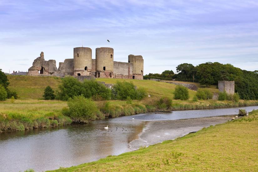
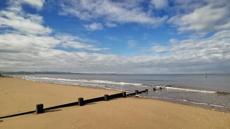
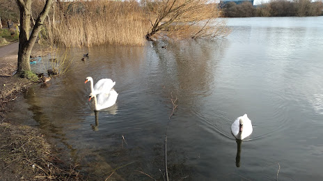
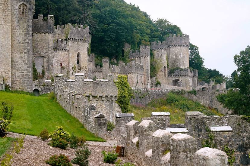
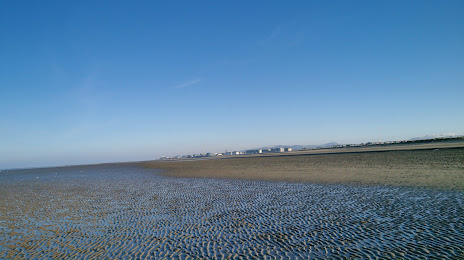
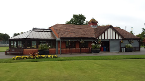
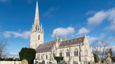
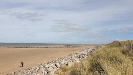
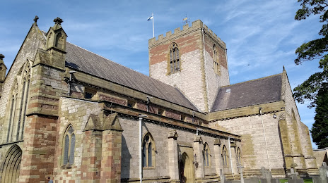
Attractions


Distance to the capital
Distance to the capital (London) is about — 304 km.