 Tyrone
Strabane
Halse
Derrylin
Stalybridge
Bozeat
Lymington
Duxford
Stromness
Portree
Witney
Winterton-on-Sea
Greater London
Huntingdon
Roos
Alfreton
Aylesbury
Rhyl
Penrith
Tyrone
Strabane
Halse
Derrylin
Stalybridge
Bozeat
Lymington
Duxford
Stromness
Portree
Witney
Winterton-on-Sea
Greater London
Huntingdon
Roos
Alfreton
Aylesbury
Rhyl
Penrith
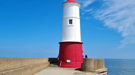
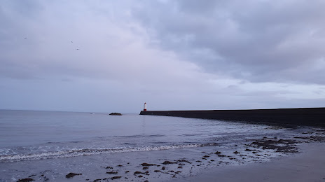
Berwick-upon-Tweed on the map, United Kingdom
Where is located Berwick-upon-Tweed
Exact location — Berwick-upon-Tweed, Northumberland, England, United Kingdom, marked on the map with a red marker.
Coordinates
Berwick-upon-Tweed, United Kingdom coordinates in decimal format: latitude — 55.770242, longitude — -2.005395. When converted to degrees, minutes, seconds Berwick-upon-Tweed has the following coordinates: 55°46′12.87 north latitude and -2°0′19.42 east longitude.
Population
Berwick-upon-Tweed, Northumberland, England, United Kingdom, according to our data the population is — 26,000 residents, which is about 0% of the total population of the country (United Kingdom).
Comparison of the population on the graph:
Exact time
Time zone for this location Berwick-upon-Tweed — UTC +1 Europe/London. Exact time — saturday, 4 april 2024 year, 14 h. 02 minutes.
Sunrise and sunset
Berwick-upon-Tweed, sunrise and sunset data for a date — saturday 20.04.2024.
| Sunrise | Sunset | Day (duration) |
|---|---|---|
| 05:53 -2 minutes | 20:20 +2 minutes | 14 h. 30 minutes. +4 minutes |
You can control the scale of the map using the auxiliary tools to find out exactly where it is located Berwick-upon-Tweed. When you change the scale of the map, the width of the ruler also changes (in kilometers and miles).
Nearby cities
The largest cities that are located nearby:
- Edinburgh — 76 km
- Sunderland — 103 km
- Glasgow — 140 km
- Blackburn — 226 km
- Preston — 227 km
- Huddersfield — 235 km
- Manchester — 254 km
- Rotherham — 262 km
- Sheffield — 266 km
- Liverpool — 269 km
- Belfast — 283 km
- Stoke-on-Trent — 306 km
- Telford — 343 km
- Leicester — 351 km
- Sutton Coldfield — 354 km
- West Bromwich — 360 km
- Dudley — 360 km
- Birmingham — 363 km
- Coventry — 373 km
Distance to neighboring capitals:
- Dublin
 (Ireland) — 384 km
 - Amsterdam
 (Netherlands) — 588 km
 - Brussels
 (Belgium) — 691 km
 - Paris
 (France) — 824 km
 - Paris (France) — 824 km
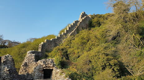
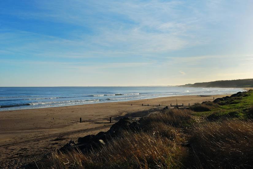
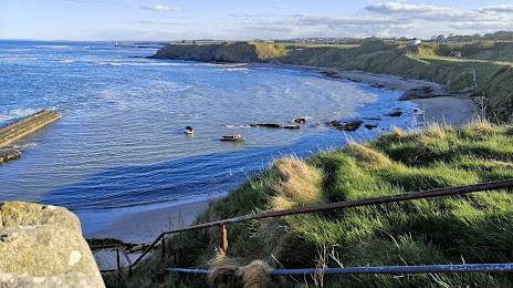
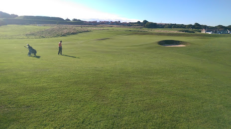
Attractions


Distance to the capital
Distance to the capital (London) is about — 490 km.