 Northam
Bosoughan
Willand
Sevenoaks
Aveley
Kirknewton
Port Isaac
Loughton
Liverpool John Lennon Airport
Chigwell
Kingsbridge
Braintree
Ashby-de-la-Zouch
Congleton
Liphook
Eyam
Beckenham
Castleford
Johnstone
Northam
Bosoughan
Willand
Sevenoaks
Aveley
Kirknewton
Port Isaac
Loughton
Liverpool John Lennon Airport
Chigwell
Kingsbridge
Braintree
Ashby-de-la-Zouch
Congleton
Liphook
Eyam
Beckenham
Castleford
Johnstone
Ilkley on the map, United Kingdom
Where is located Ilkley
Exact location — Ilkley, West Yorkshire, England, United Kingdom, marked on the map with a red marker.
Coordinates
Ilkley, United Kingdom coordinates in decimal format: latitude — 53.925486, longitude — -1.822817. When converted to degrees, minutes, seconds Ilkley has the following coordinates: 53°55′31.75 north latitude and -1°49′22.14 east longitude.
Population
Ilkley, West Yorkshire, England, United Kingdom, according to our data the population is — 13,772 residents, which is about 0% of the total population of the country (United Kingdom).
Comparison of the population on the graph:
Exact time
Time zone for this location Ilkley — UTC +1 Europe/London. Exact time — thursday, 4 april 2024 year, 07 h. 23 minutes.
Sunrise and sunset
Ilkley, sunrise and sunset data for a date — thursday 25.04.2024.
| Sunrise | Sunset | Day (duration) |
|---|---|---|
| 05:46 -2 minutes | 20:23 +2 minutes | 14 h. 36 minutes. +4 minutes |
You can control the scale of the map using the auxiliary tools to find out exactly where it is located Ilkley. When you change the scale of the map, the width of the ruler also changes (in kilometers and miles).
Nearby cities
The largest cities that are located nearby:
- Huddersfield — 31 km
- Blackburn — 48 km
- Manchester — 56 km
- Preston — 60 km
- Rotherham — 62 km
- Sheffield — 65 km
- Liverpool — 96 km
- Stoke-on-Trent — 105 km
- Sunderland — 112 km
- Telford — 144 km
- Leicester — 150 km
- Sutton Coldfield — 150 km
- West Bromwich — 156 km
- Dudley — 157 km
- Birmingham — 159 km
- Coventry — 169 km
- Worcester — 193 km
- Northampton — 196 km
- Cheltenham — 225 km
Distance to neighboring capitals:
- Dublin
 (Ireland) — 299 km
 - Amsterdam
 (Netherlands) — 480 km
 - Brussels
 (Belgium) — 541 km
 - Paris
 (France) — 634 km
 - Paris (France) — 634 km
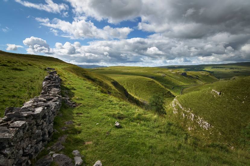
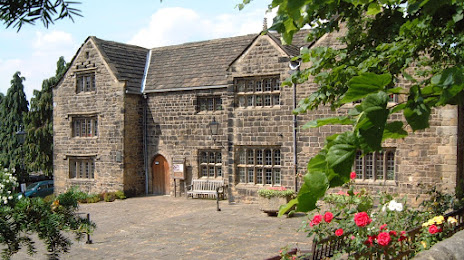
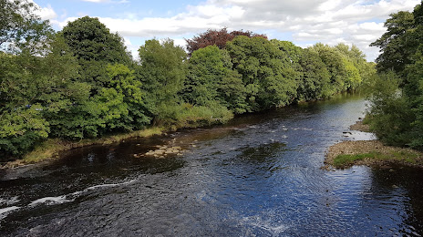
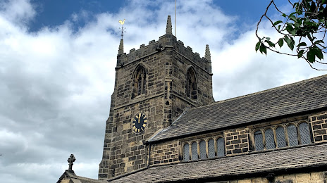
Attractions


Distance to the capital
Distance to the capital (London) is about — 292 km.