 Ilketshall Saint Margaret
Hove
Gloucestershire
Forres
Waddington
Fraserburgh
Fort Augustus
Northallerton
Dailly
Liverpool John Lennon Airport
Loughton
Port Isaac
Kirknewton
Aveley
Sevenoaks
Willand
Bosoughan
Northam
Hebburn
Ilketshall Saint Margaret
Hove
Gloucestershire
Forres
Waddington
Fraserburgh
Fort Augustus
Northallerton
Dailly
Liverpool John Lennon Airport
Loughton
Port Isaac
Kirknewton
Aveley
Sevenoaks
Willand
Bosoughan
Northam
Hebburn
Colne on the map, United Kingdom
Where is located Colne
Exact location — Colne, Lancashire, England, United Kingdom, marked on the map with a red marker.
Coordinates
Colne, United Kingdom coordinates in decimal format: latitude — 53.85564, longitude — -2.176991. When converted to degrees, minutes, seconds Colne has the following coordinates: 53°51′20.3 north latitude and -2°10′37.17 east longitude.
Exact time
Time zone for this location Colne — UTC +1 Europe/London. Exact time — friday, 4 april 2024 year, 01 h. 04 minutes.
Sunrise and sunset
Colne, sunrise and sunset data for a date — friday 19.04.2024.
| Sunrise | Sunset | Day (duration) |
|---|---|---|
| 06:01 -2 minutes | 20:14 +2 minutes | 14 h. 12 minutes. +4 minutes |
You can control the scale of the map using the auxiliary tools to find out exactly where it is located Colne. When you change the scale of the map, the width of the ruler also changes (in kilometers and miles).
Nearby cities
The largest cities that are located nearby:
- Blackburn — 24 km
- Huddersfield — 35 km
- Preston — 36 km
- Manchester — 42 km
- Sheffield — 70 km
- Rotherham — 71 km
- Liverpool — 73 km
- Stoke-on-Trent — 94 km
- Sunderland — 127 km
- Telford — 131 km
- Sutton Coldfield — 144 km
- West Bromwich — 148 km
- Dudley — 149 km
- Leicester — 152 km
- Birmingham — 153 km
- Coventry — 166 km
- Worcester — 184 km
- Northampton — 198 km
- Cheltenham — 216 km
Distance to neighboring capitals:
- Dublin
 (Ireland) — 275 km
 - Amsterdam
 (Netherlands) — 500 km
 - Brussels
 (Belgium) — 555 km
 - Paris
 (France) — 639 km
 - Paris (France) — 639 km
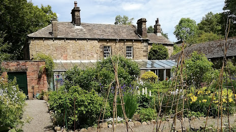
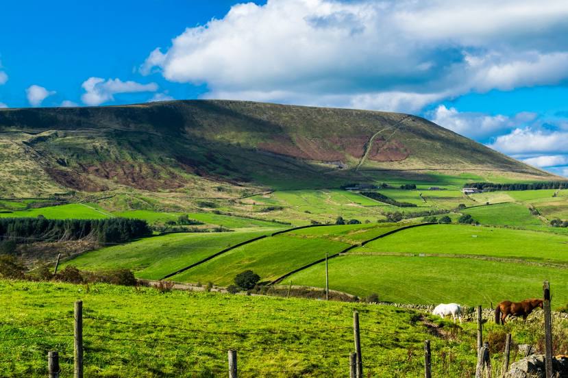
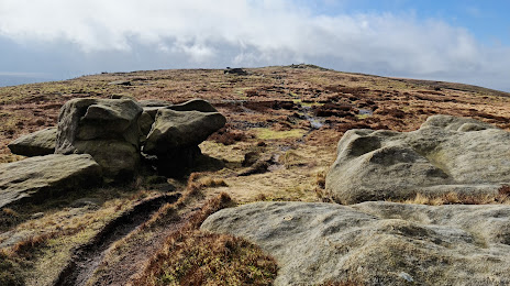
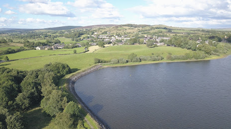
Attractions

Distance to the capital
Distance to the capital (London) is about — 295 km.