 Gloucestershire
Forres
Waddington
Fraserburgh
Fort Augustus
Northallerton
Dailly
Malvern Wells
Lapworth
Solihull
Canvey Island
Liverpool John Lennon Airport
Loughton
Port Isaac
Kirknewton
Aveley
Sevenoaks
Willand
Bosoughan
Gloucestershire
Forres
Waddington
Fraserburgh
Fort Augustus
Northallerton
Dailly
Malvern Wells
Lapworth
Solihull
Canvey Island
Liverpool John Lennon Airport
Loughton
Port Isaac
Kirknewton
Aveley
Sevenoaks
Willand
Bosoughan
Honiton on the map, United Kingdom
Where is located Honiton
Exact location — Honiton, Devon, England, United Kingdom, marked on the map with a red marker.
Coordinates
Honiton, United Kingdom coordinates in decimal format: latitude — 50.799468, longitude — -3.188683. When converted to degrees, minutes, seconds Honiton has the following coordinates: 50°47′58.08 north latitude and -3°11′19.26 east longitude.
Population
Honiton, Devon, England, United Kingdom, according to our data the population is — 11,463 residents, which is about 0% of the total population of the country (United Kingdom).
Comparison of the population on the graph:
Exact time
Time zone for this location Honiton — UTC +1 Europe/London. Exact time — saturday, 4 april 2024 year, 05 h. 00 minutes.
Sunrise and sunset
Honiton, sunrise and sunset data for a date — saturday 20.04.2024.
| Sunrise | Sunset | Day (duration) |
|---|---|---|
| 06:10 -2 minutes | 20:12 +1 minute | 14 h. 0 minutes. +3 minutes |
You can control the scale of the map using the auxiliary tools to find out exactly where it is located Honiton. When you change the scale of the map, the width of the ruler also changes (in kilometers and miles).
Nearby cities
The largest cities that are located nearby:
- Exeter — 26 km
- Bristol — 83 km
- Bournemouth — 92 km
- Southampton — 125 km
- Swindon — 128 km
- Cheltenham — 143 km
- Portsmouth — 147 km
- Worcester — 167 km
- Reading — 169 km
- Oxford — 169 km
- Slough — 195 km
- Dudley — 204 km
- Birmingham — 206 km
- West Bromwich — 206 km
- Coventry — 210 km
- Crawley — 211 km
- Telford — 214 km
- Watford — 214 km
- Sutton — 216 km
Distance to neighboring capitals:
- Dublin
 (Ireland) — 353 km
 - Paris
 (France) — 452 km
 - Paris (France) — 452 km
- Brussels
 (Belgium) — 530 km
 - Amsterdam
 (Netherlands) — 585 km
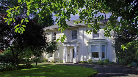
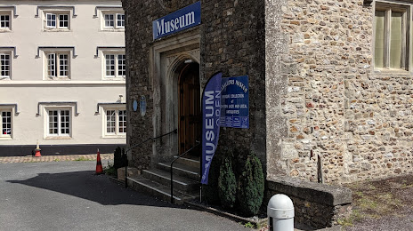
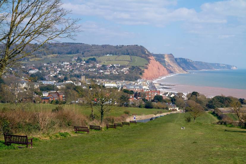
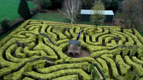
Attractions


Distance to the capital
Distance to the capital (London) is about — 228 km.