 Worksop
Cumnock
Clitheroe
Brierfield
Lydney
Cairnryan
Marlborough
Chipping Norton
Burford
Blaenau Ffestiniog
Fishguard
Winsford
Laig
Brocklesby
Burnsall
Bourton-on-the-Water
Aby
Lambourn
Durness
Worksop
Cumnock
Clitheroe
Brierfield
Lydney
Cairnryan
Marlborough
Chipping Norton
Burford
Blaenau Ffestiniog
Fishguard
Winsford
Laig
Brocklesby
Burnsall
Bourton-on-the-Water
Aby
Lambourn
Durness
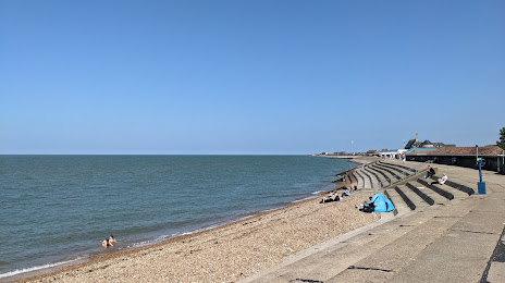
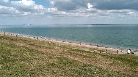
Sheerness on the map, United Kingdom
Where is located Sheerness
Exact location — Sheerness, Kent, England, United Kingdom, marked on the map with a red marker.
Coordinates
Sheerness, United Kingdom coordinates in decimal format: latitude — 51.44011, longitude — 0.764158. When converted to degrees, minutes, seconds Sheerness has the following coordinates: 51°26′24.4 north latitude and 0°45′50.97 east longitude.
Population
Sheerness, Kent, England, United Kingdom, according to our data the population is — 11,914 residents, which is about 0% of the total population of the country (United Kingdom).
Comparison of the population on the graph:
Exact time
Time zone for this location Sheerness — UTC +1 Europe/London. Exact time — thursday, 4 april 2024 year, 09 h. 00 minutes.
Sunrise and sunset
Sheerness, sunrise and sunset data for a date — thursday 25.04.2024.
| Sunrise | Sunset | Day (duration) |
|---|---|---|
| 05:43 -2 minutes | 20:06 +2 minutes | 14 h. 24 minutes. +4 minutes |
You can control the scale of the map using the auxiliary tools to find out exactly where it is located Sheerness. When you change the scale of the map, the width of the ruler also changes (in kilometers and miles).
Nearby cities
The largest cities that are located nearby:
- Southend-on-Sea — 12 km
- Gillingham — 16 km
- Basildon — 24 km
- Chelmsford — 38 km
- Sutton — 67 km
- Ipswich — 73 km
- Crawley — 76 km
- Eastbourne — 81 km
- Watford — 83 km
- Slough — 94 km
- Luton — 94 km
- Cambridge — 95 km
- Reading — 120 km
- Norwich — 136 km
- Oxford — 143 km
- Northampton — 143 km
- Portsmouth — 146 km
- Southampton — 162 km
- Swindon — 175 km
Distance to neighboring capitals:
- Brussels
 (Belgium) — 259 km
 - Amsterdam
 (Netherlands) — 302 km
 - Paris
 (France) — 309 km
 - Paris (France) — 309 km
- Dublin
 (Ireland) — 522 km
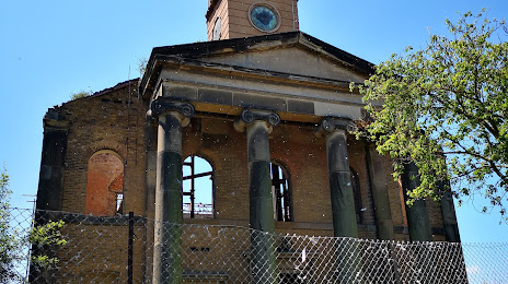
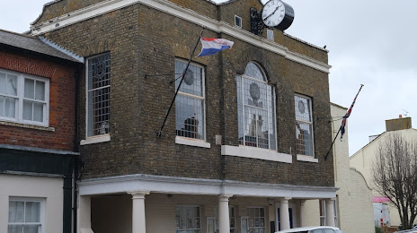
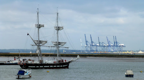
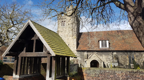
Attractions
Distance to the capital
Distance to the capital (London) is about — 62 km.