 Romford
Redhill
Topsham
Shaldon
Ilsington
Llandrillo
Hunstanton
Ballymena
Overstrand
Helmsdale
Nelson
Quinton
Sheerness
Stourport-on-Severn
Penshurst
Manchester
Royal Military Academy
Camberley
Drumcard
Romford
Redhill
Topsham
Shaldon
Ilsington
Llandrillo
Hunstanton
Ballymena
Overstrand
Helmsdale
Nelson
Quinton
Sheerness
Stourport-on-Severn
Penshurst
Manchester
Royal Military Academy
Camberley
Drumcard
Clitheroe on the map, United Kingdom
Where is located Clitheroe
Exact location — Clitheroe, Lancashire, England, United Kingdom, marked on the map with a red marker.
Coordinates
Clitheroe, United Kingdom coordinates in decimal format: latitude — 53.871098, longitude — -2.393083. When converted to degrees, minutes, seconds Clitheroe has the following coordinates: 53°52′15.95 north latitude and -2°23′35.1 east longitude.
Population
Clitheroe, Lancashire, England, United Kingdom, according to our data the population is — 15,024 residents, which is about 0% of the total population of the country (United Kingdom).
Comparison of the population on the graph:
Exact time
Time zone for this location Clitheroe — UTC +1 Europe/London. Exact time — thursday, 4 april 2024 year, 16 h. 09 minutes.
Sunrise and sunset
Clitheroe, sunrise and sunset data for a date — thursday 25.04.2024.
| Sunrise | Sunset | Day (duration) |
|---|---|---|
| 05:49 -2 minutes | 20:25 +1 minute | 14 h. 36 minutes. +3 minutes |
You can control the scale of the map using the auxiliary tools to find out exactly where it is located Clitheroe. When you change the scale of the map, the width of the ruler also changes (in kilometers and miles).
Nearby cities
The largest cities that are located nearby:
- Blackburn — 15 km
- Preston — 24 km
- Manchester — 44 km
- Huddersfield — 47 km
- Liverpool — 65 km
- Sheffield — 81 km
- Rotherham — 83 km
- Stoke-on-Trent — 97 km
- Sunderland — 131 km
- Telford — 132 km
- Sutton Coldfield — 149 km
- Dudley — 152 km
- West Bromwich — 152 km
- Birmingham — 157 km
- Leicester — 160 km
- Coventry — 172 km
- Worcester — 186 km
- Northampton — 207 km
- Cheltenham — 219 km
Distance to neighboring capitals:
- Dublin
 (Ireland) — 262 km
 - Amsterdam
 (Netherlands) — 514 km
 - Brussels
 (Belgium) — 568 km
 - Paris
 (France) — 647 km
 - Paris (France) — 647 km
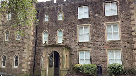
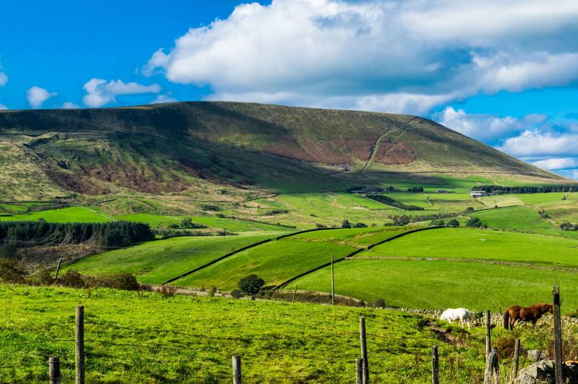
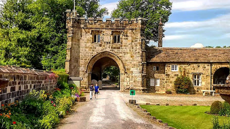
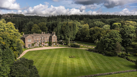
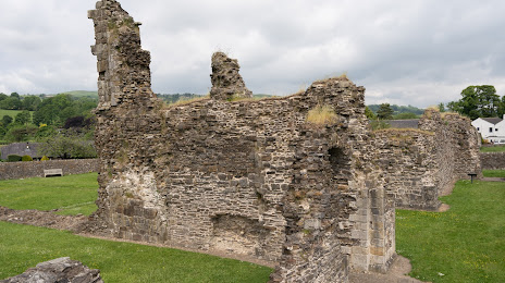
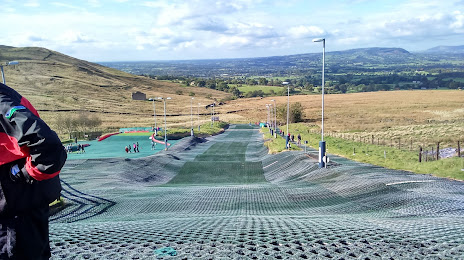
Attractions
Distance to the capital
Distance to the capital (London) is about — 304 km.