 Edgware
Keighley
Stoke-on-Trent
Hartley
Foulridge
Ruislip
Oldmeldrum
Isleworth
Thatcham
Bury
Teddington
Greenford
Waterlooville
Brentford
Edgware
Keighley
Stoke-on-Trent
Hartley
Foulridge
Ruislip
Oldmeldrum
Isleworth
Thatcham
Bury
Teddington
Greenford
Waterlooville
Brentford
Feltham on the map, United Kingdom
Where is located Feltham
Exact location — Feltham, Greater London, England, United Kingdom, marked on the map with a red marker.
Coordinates
Feltham, United Kingdom coordinates in decimal format: latitude — 51.444148, longitude — -0.410772. When converted to degrees, minutes, seconds Feltham has the following coordinates: 51°26′38.93 north latitude and -0°24′38.78 east longitude.
Population
Feltham, Greater London, England, United Kingdom, according to our data the population is — 24,325 residents, which is about 0% of the total population of the country (United Kingdom).
Comparison of the population on the graph:
Exact time
Time zone for this location Feltham — UTC +1 Europe/London. Exact time — tuesday, 4 april 2024 year, 16 h. 09 minutes.
Sunrise and sunset
Feltham, sunrise and sunset data for a date — tuesday 23.04.2024.
| Sunrise | Sunset | Day (duration) |
|---|---|---|
| 05:51 -2 minutes | 20:07 +1 minute | 14 h. 18 minutes. +3 minutes |
You can control the scale of the map using the auxiliary tools to find out exactly where it is located Feltham. When you change the scale of the map, the width of the ruler also changes (in kilometers and miles).
Nearby cities
The largest cities that are located nearby:
- Slough — 15 km
- Sutton — 18 km
- Watford — 24 km
- Reading — 39 km
- Crawley — 40 km
- Luton — 48 km
- Basildon — 64 km
- Gillingham — 67 km
- Oxford — 67 km
- Chelmsford — 68 km
- Southend-on-Sea — 78 km
- Portsmouth — 84 km
- Eastbourne — 89 km
- Southampton — 91 km
- Cambridge — 92 km
- Northampton — 94 km
- Swindon — 95 km
- Cheltenham — 124 km
- Ipswich — 126 km
Distance to neighboring capitals:
- Brussels
 (Belgium) — 339 km
 - Paris
 (France) — 349 km
 - Paris (France) — 349 km
- Amsterdam
 (Netherlands) — 378 km
 - Dublin
 (Ireland) — 450 km
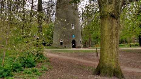
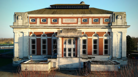
Attractions


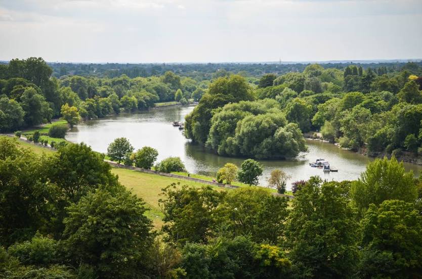


Distance to the capital
Distance to the capital (London) is about — 21 km.