 Cottingham
Heathrow Airport
London
Stanwell
Salford
Hermitage
Northolt
Skelmanthorpe
Batley
Liverpool
Crowthorne
Northwood
Feltham
Hatfield
Ashleworth
Sunbury-on-Thames
Laleham
West Drayton
Windsor
Cottingham
Heathrow Airport
London
Stanwell
Salford
Hermitage
Northolt
Skelmanthorpe
Batley
Liverpool
Crowthorne
Northwood
Feltham
Hatfield
Ashleworth
Sunbury-on-Thames
Laleham
West Drayton
Windsor
Stoke-on-Trent on the map, United Kingdom
Where is located Stoke-on-Trent
Exact location — Stoke-on-Trent, Stoke-on-Trent, England, United Kingdom, marked on the map with a red marker.
Coordinates
Stoke-on-Trent, United Kingdom coordinates in decimal format: latitude — 53.002668, longitude — -2.179404. When converted to degrees, minutes, seconds Stoke-on-Trent has the following coordinates: 53°0′9.6 north latitude and -2°10′45.85 east longitude.
Population
Stoke-on-Trent, Stoke-on-Trent, England, United Kingdom, according to our data the population is — 260,420 residents, which is about 0.4% of the total population of the country (United Kingdom).
Comparison of the population on the graph:
Exact time
Time zone for this location Stoke-on-Trent — UTC +1 Europe/London. Exact time — saturday, 4 april 2024 year, 07 h. 30 minutes.
Sunrise and sunset
Stoke-on-Trent, sunrise and sunset data for a date — saturday 20.04.2024.
| Sunrise | Sunset | Day (duration) |
|---|---|---|
| 06:01 -2 minutes | 20:13 +2 minutes | 14 h. 12 minutes. +4 minutes |
You can control the scale of the map using the auxiliary tools to find out exactly where it is located Stoke-on-Trent. When you change the scale of the map, the width of the ruler also changes (in kilometers and miles).
Nearby cities
The largest cities that are located nearby:
- Telford — 40 km
- Manchester — 53 km
- Sutton Coldfield — 53 km
- Dudley — 55 km
- West Bromwich — 55 km
- Birmingham — 60 km
- Sheffield — 63 km
- Liverpool — 70 km
- Rotherham — 72 km
- Huddersfield — 76 km
- Coventry — 80 km
- Leicester — 81 km
- Blackburn — 85 km
- Worcester — 89 km
- Preston — 91 km
- Northampton — 121 km
- Cheltenham — 122 km
- Oxford — 152 km
- Swindon — 162 km
Distance to neighboring capitals:
- Dublin
 (Ireland) — 275 km
 - Amsterdam
 (Netherlands) — 482 km
 - Brussels
 (Belgium) — 508 km
 - Paris
 (France) — 560 km
 - Paris (France) — 560 km
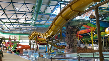
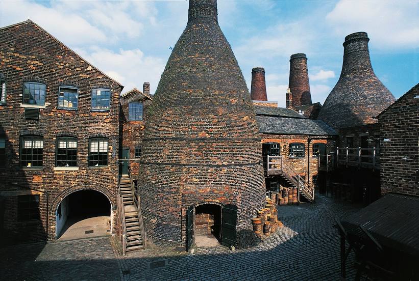
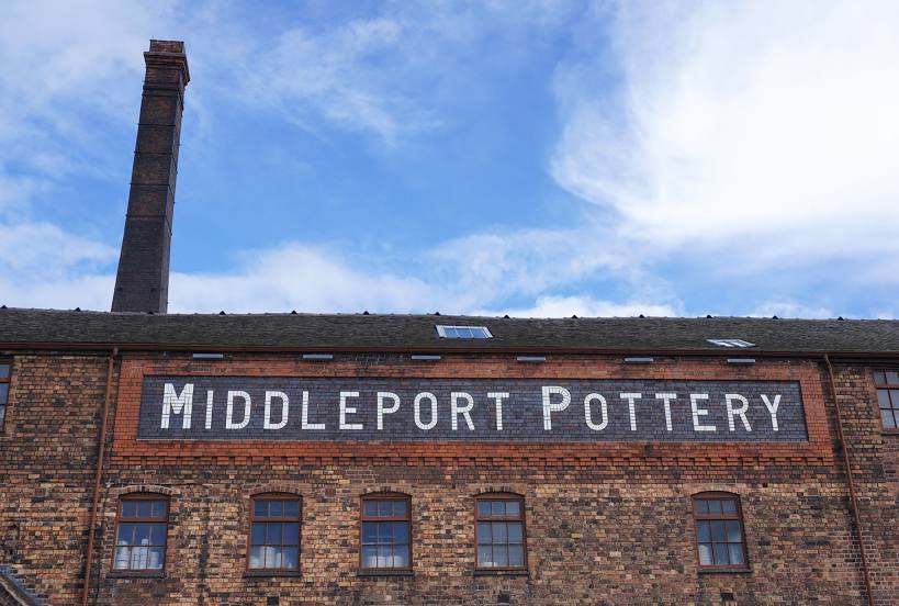
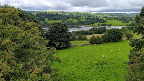
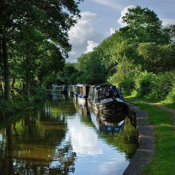
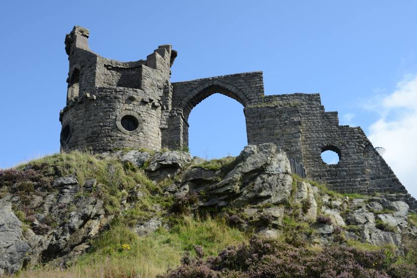
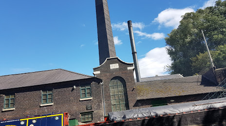
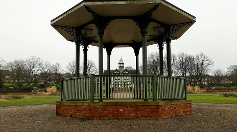
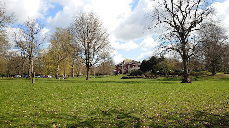
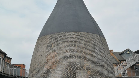
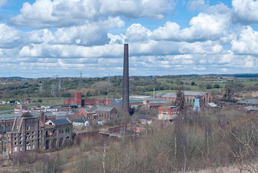
Attractions


Distance to the capital
Distance to the capital (London) is about — 217 km.