 Kintbury
Llansannan
Midgham
Bieldside
Ardrishaig
Figheldean
Gamston
Urchfont
Breakish
West Hanney
Coedpoeth
Gwalchmai
Saltfleetby
Llandegla
Ystradgynlais
Flookburgh
Peterchurch
Wootton Wawen
Scarinish
Kintbury
Llansannan
Midgham
Bieldside
Ardrishaig
Figheldean
Gamston
Urchfont
Breakish
West Hanney
Coedpoeth
Gwalchmai
Saltfleetby
Llandegla
Ystradgynlais
Flookburgh
Peterchurch
Wootton Wawen
Scarinish
Aberkenfig on the map, United Kingdom
Where is located Aberkenfig
Exact location — Aberkenfig, Bridgend, Wales, United Kingdom, marked on the map with a red marker.
Coordinates
Aberkenfig, United Kingdom coordinates in decimal format: latitude — 51.540786, longitude — -3.597806. When converted to degrees, minutes, seconds Aberkenfig has the following coordinates: 51°32′26.83 north latitude and -3°35′52.1 east longitude.
Population
Aberkenfig, Bridgend, Wales, United Kingdom, according to our data the population is — 10,083 residents, which is about 0% of the total population of the country (United Kingdom).
Comparison of the population on the graph:
Exact time
Time zone for this location Aberkenfig — UTC +1 Europe/London. Exact time — friday, 4 april 2024 year, 08 h. 11 minutes.
Sunrise and sunset
Aberkenfig, sunrise and sunset data for a date — friday 19.04.2024.
| Sunrise | Sunset | Day (duration) |
|---|---|---|
| 06:12 -2 minutes | 20:14 +2 minutes | 14 h. 0 minutes. +4 minutes |
You can control the scale of the map using the auxiliary tools to find out exactly where it is located Aberkenfig. When you change the scale of the map, the width of the ruler also changes (in kilometers and miles).
Nearby cities
The largest cities that are located nearby:
- Bristol — 70 km
- Exeter — 91 km
- Cheltenham — 111 km
- Worcester — 118 km
- Swindon — 125 km
- Telford — 148 km
- Dudley — 148 km
- Bournemouth — 151 km
- West Bromwich — 153 km
- Birmingham — 155 km
- Oxford — 162 km
- Sutton Coldfield — 165 km
- Southampton — 168 km
- Coventry — 170 km
- Reading — 181 km
- Stoke-on-Trent — 187 km
- Portsmouth — 193 km
- Northampton — 198 km
- Leicester — 205 km
Distance to neighboring capitals:
- Dublin
 (Ireland) — 270 km
 - Paris
 (France) — 518 km
 - Paris (France) — 518 km
- Brussels
 (Belgium) — 559 km
 - Amsterdam
 (Netherlands) — 589 km
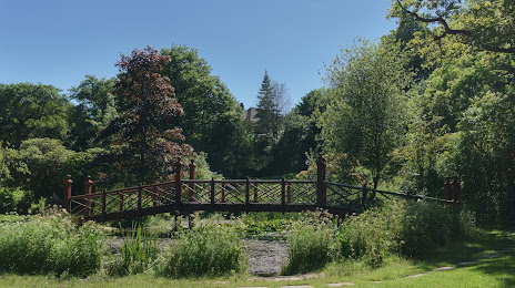
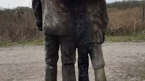
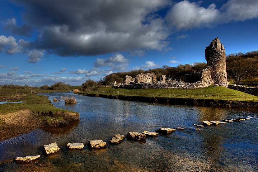
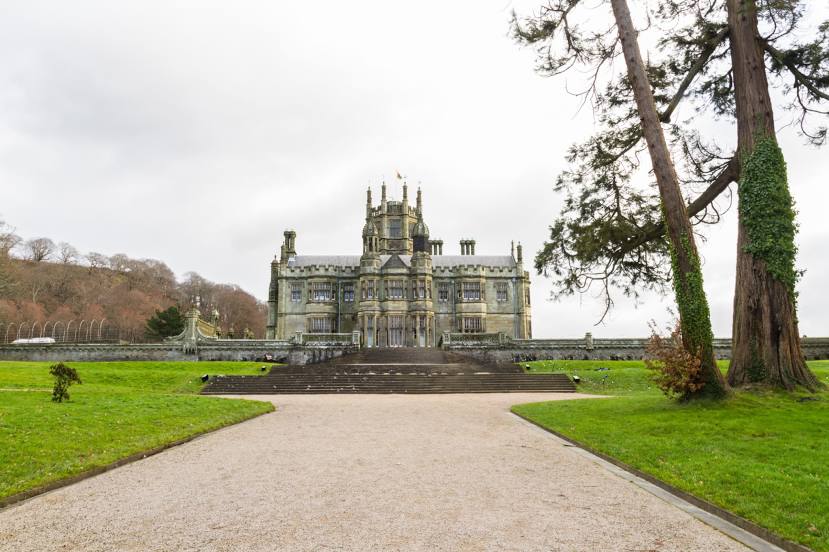
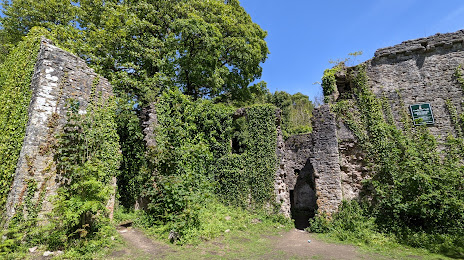
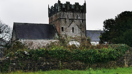
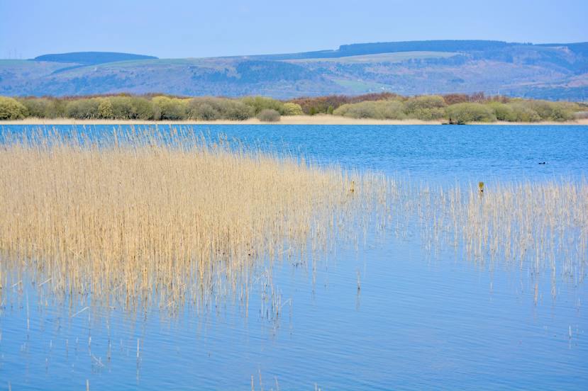
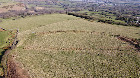
Attractions


Distance to the capital
Distance to the capital (London) is about — 240 km.