 Hermitage
Northolt
Skelmanthorpe
Batley
Brodick
Golcar
Abergwynfi
Glyncorrwg
Pontrhydyfen
Windermere
West Molesey
Midsomer Norton
Finchampstead
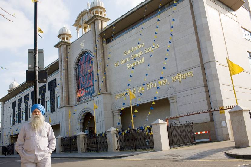
Southall
Liverpool
Crowthorne
Northwood
Feltham
Hatfield
Hermitage
Northolt
Skelmanthorpe
Batley
Brodick
Golcar
Abergwynfi
Glyncorrwg
Pontrhydyfen
Windermere
West Molesey
Midsomer Norton
Finchampstead
Southall
Liverpool
Crowthorne
Northwood
Feltham
Hatfield
Isleworth on the map, United Kingdom
Where is located Isleworth
Exact location — Isleworth, Greater London, England, United Kingdom, marked on the map with a red marker.
Coordinates
Isleworth, United Kingdom coordinates in decimal format: latitude — 51.467121, longitude — -0.329003. When converted to degrees, minutes, seconds Isleworth has the following coordinates: 51°28′1.64 north latitude and -0°19′44.41 east longitude.
Population
Isleworth, Greater London, England, United Kingdom, according to our data the population is — 20,500 residents, which is about 0% of the total population of the country (United Kingdom).
Comparison of the population on the graph:
Exact time
Time zone for this location Isleworth — UTC +1 Europe/London. Exact time — tuesday, 4 april 2024 year, 16 h. 16 minutes.
Sunrise and sunset
Isleworth, sunrise and sunset data for a date — tuesday 23.04.2024.
| Sunrise | Sunset | Day (duration) |
|---|---|---|
| 05:51 -2 minutes | 20:07 +2 minutes | 14 h. 18 minutes. +4 minutes |
You can control the scale of the map using the auxiliary tools to find out exactly where it is located Isleworth. When you change the scale of the map, the width of the ruler also changes (in kilometers and miles).
Nearby cities
The largest cities that are located nearby:
- Sutton — 15 km
- Slough — 19 km
- Watford — 21 km
- Crawley — 41 km
- Reading — 45 km
- Luton — 46 km
- Basildon — 57 km
- Gillingham — 61 km
- Chelmsford — 62 km
- Oxford — 71 km
- Southend-on-Sea — 72 km
- Cambridge — 87 km
- Eastbourne — 89 km
- Portsmouth — 89 km
- Northampton — 94 km
- Southampton — 97 km
- Swindon — 100 km
- Ipswich — 120 km
- Cheltenham — 129 km
Distance to neighboring capitals:
- Brussels
 (Belgium) — 334 km
 - Paris
 (France) — 348 km
 - Paris (France) — 348 km
- Amsterdam
 (Netherlands) — 372 km
 - Dublin
 (Ireland) — 453 km
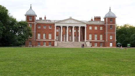
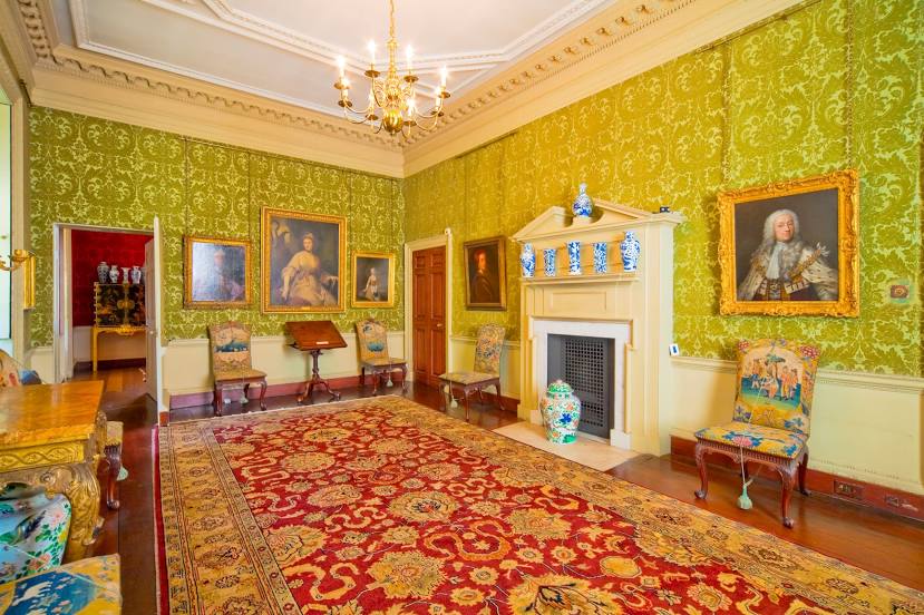
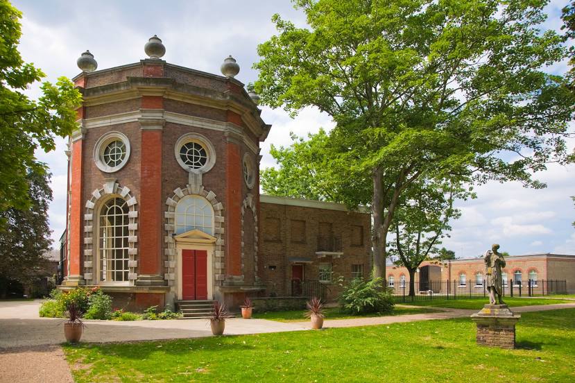
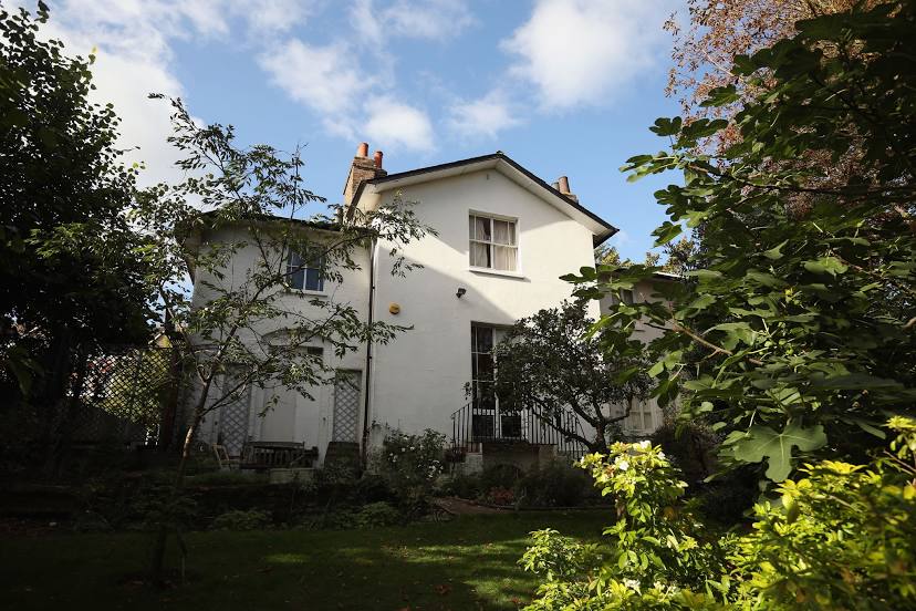
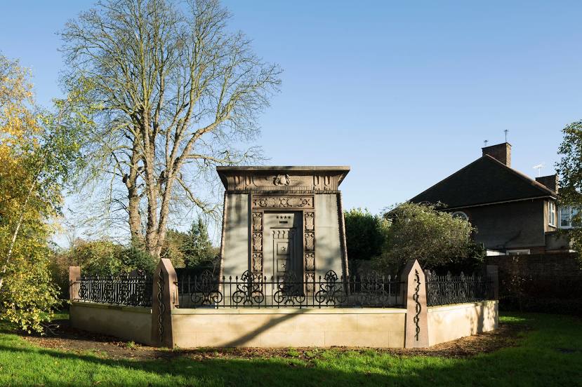
Attractions


Distance to the capital
Distance to the capital (London) is about — 15 km.