 Batley
Brodick
Golcar
Abergwynfi
Glyncorrwg
Pontrhydyfen
Ystalyfera
Cold Ash
Thorne
Stourbridge
Stanmore
Sutton Coldfield
Windermere
West Molesey
Midsomer Norton
Finchampstead
Southall
Liverpool
Crowthorne
Batley
Brodick
Golcar
Abergwynfi
Glyncorrwg
Pontrhydyfen
Ystalyfera
Cold Ash
Thorne
Stourbridge
Stanmore
Sutton Coldfield
Windermere
West Molesey
Midsomer Norton
Finchampstead
Southall
Liverpool
Crowthorne
Ellesmere Port on the map, United Kingdom
Where is located Ellesmere Port
Exact location — Ellesmere Port, Cheshire West and Chester, England, United Kingdom, marked on the map with a red marker.
Coordinates
Ellesmere Port, United Kingdom coordinates in decimal format: latitude — 53.279812, longitude — -2.897404. When converted to degrees, minutes, seconds Ellesmere Port has the following coordinates: 53°16′47.32 north latitude and -2°53′50.65 east longitude.
Population
Ellesmere Port, Cheshire West and Chester, England, United Kingdom, according to our data the population is — 67,768 residents, which is about 0.1% of the total population of the country (United Kingdom).
Comparison of the population on the graph:
Exact time
Time zone for this location Ellesmere Port — UTC +1 Europe/London. Exact time — thursday, 4 april 2024 year, 05 h. 29 minutes.
Sunrise and sunset
Ellesmere Port, sunrise and sunset data for a date — thursday 25.04.2024.
| Sunrise | Sunset | Day (duration) |
|---|---|---|
| 05:52 -2 minutes | 20:26 +2 minutes | 14 h. 36 minutes. +4 minutes |
You can control the scale of the map using the auxiliary tools to find out exactly where it is located Ellesmere Port. When you change the scale of the map, the width of the ruler also changes (in kilometers and miles).
Nearby cities
The largest cities that are located nearby:
- Liverpool — 16 km
- Manchester — 48 km
- Preston — 55 km
- Stoke-on-Trent — 57 km
- Blackburn — 58 km
- Telford — 73 km
- Huddersfield — 83 km
- Sheffield — 95 km
- Dudley — 101 km
- Rotherham — 102 km
- West Bromwich — 104 km
- Sutton Coldfield — 107 km
- Birmingham — 111 km
- Worcester — 129 km
- Coventry — 134 km
- Leicester — 138 km
- Cheltenham — 163 km
- Northampton — 177 km
- Oxford — 203 km
Distance to neighboring capitals:
- Dublin
 (Ireland) — 224 km
 - Amsterdam
 (Netherlands) — 533 km
 - Brussels
 (Belgium) — 564 km
 - Paris
 (France) — 613 km
 - Paris (France) — 613 km
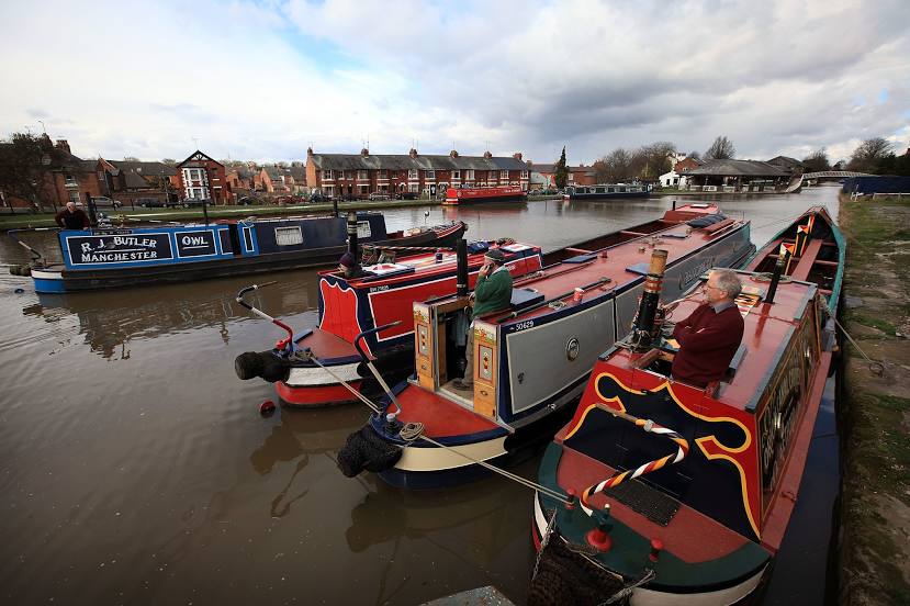
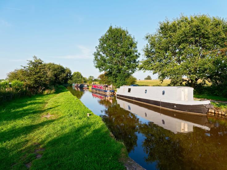
Attractions


Distance to the capital
Distance to the capital (London) is about — 272 km.