 Golcar
Abergwynfi
Glyncorrwg
Pontrhydyfen
Ystalyfera
Cold Ash
Thorne
Tavernspite
Hungerford
Keighley
Edgware
Stourbridge
Stanmore
Sutton Coldfield
Windermere
West Molesey
Midsomer Norton
Finchampstead
Southall
Golcar
Abergwynfi
Glyncorrwg
Pontrhydyfen
Ystalyfera
Cold Ash
Thorne
Tavernspite
Hungerford
Keighley
Edgware
Stourbridge
Stanmore
Sutton Coldfield
Windermere
West Molesey
Midsomer Norton
Finchampstead
Southall
Ascot on the map, United Kingdom
Where is located Ascot
Exact location — Ascot, Windsor and Maidenhead, England, United Kingdom, marked on the map with a red marker.
Coordinates
Ascot, United Kingdom coordinates in decimal format: latitude — 51.4062365, longitude — -0.6755624. When converted to degrees, minutes, seconds Ascot has the following coordinates: 51°24′22.45 north latitude and -0°40′32.02 east longitude.
Population
Ascot, Windsor and Maidenhead, England, United Kingdom, according to our data the population is — 17,899 residents, which is about 0% of the total population of the country (United Kingdom).
Comparison of the population on the graph:
Exact time
Time zone for this location Ascot — UTC +1 Europe/London. Exact time — tuesday, 4 april 2024 year, 09 h. 43 minutes.
Sunrise and sunset
Ascot, sunrise and sunset data for a date — tuesday 23.04.2024.
| Sunrise | Sunset | Day (duration) |
|---|---|---|
| 05:52 -3 minutes | 20:08 +1 minute | 14 h. 18 minutes. +4 minutes |
You can control the scale of the map using the auxiliary tools to find out exactly where it is located Ascot. When you change the scale of the map, the width of the ruler also changes (in kilometers and miles).
Nearby cities
The largest cities that are located nearby:
- Slough — 13 km
- Reading — 22 km
- Sutton — 34 km
- Watford — 34 km
- Crawley — 47 km
- Luton — 55 km
- Oxford — 55 km
- Portsmouth — 71 km
- Southampton — 75 km
- Swindon — 78 km
- Basildon — 82 km
- Gillingham — 85 km
- Chelmsford — 86 km
- Northampton — 94 km
- Southend-on-Sea — 96 km
- Eastbourne — 98 km
- Cambridge — 104 km
- Cheltenham — 110 km
- Bournemouth — 114 km
Distance to neighboring capitals:
- Brussels
 (Belgium) — 356 km
 - Paris
 (France) — 356 km
 - Paris (France) — 356 km
- Amsterdam
 (Netherlands) — 397 km
 - Dublin
 (Ireland) — 436 km
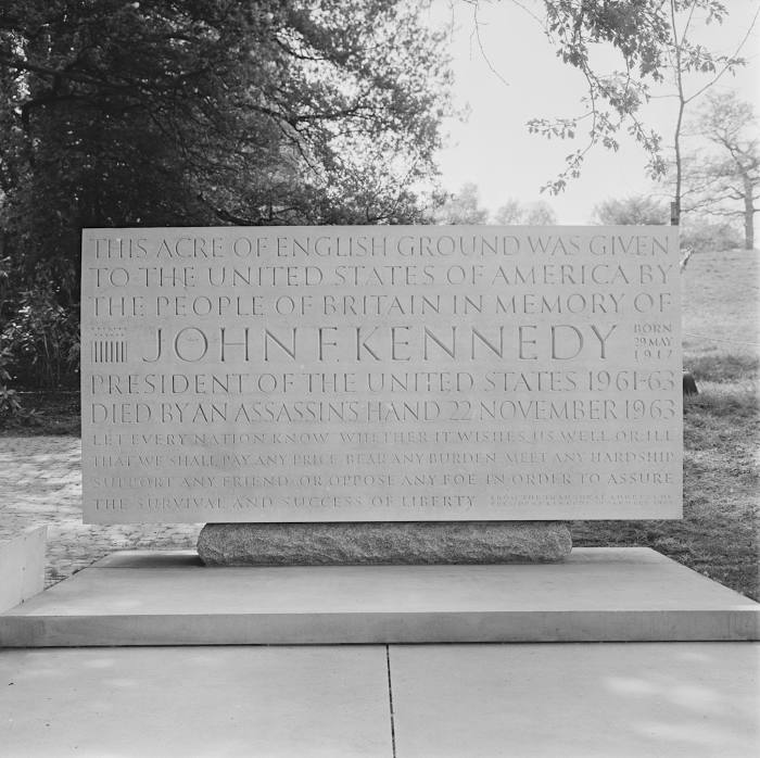
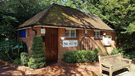
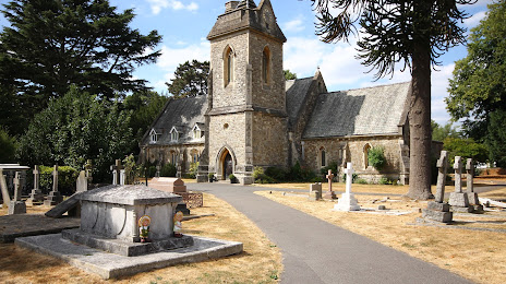
Attractions


Distance to the capital
Distance to the capital (London) is about — 40 km.