 Thorne
Tavernspite
Hungerford
Thornbury
Hampton Hill
Monks Eleigh
Griffithstown
Bexleyheath
Distington
Isleworth
Oldmeldrum
Ruislip
Foulridge
Hartley
Stoke-on-Trent
Keighley
Edgware
Stourbridge
Stanmore
Thorne
Tavernspite
Hungerford
Thornbury
Hampton Hill
Monks Eleigh
Griffithstown
Bexleyheath
Distington
Isleworth
Oldmeldrum
Ruislip
Foulridge
Hartley
Stoke-on-Trent
Keighley
Edgware
Stourbridge
Stanmore
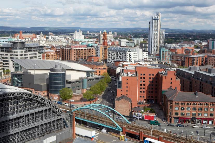
Salford on the map, United Kingdom
Where is located Salford
Exact location — Salford, Greater Manchester, England, United Kingdom, marked on the map with a red marker.
Coordinates
Salford, United Kingdom coordinates in decimal format: latitude — 53.4875235, longitude — -2.2901264. When converted to degrees, minutes, seconds Salford has the following coordinates: 53°29′15.08 north latitude and -2°17′24.46 east longitude.
Population
Salford, Greater Manchester, England, United Kingdom, according to our data the population is — 70,905 residents, which is about 0.1% of the total population of the country (United Kingdom).
Comparison of the population on the graph:
Exact time
Time zone for this location Salford — UTC +1 Europe/London. Exact time — tuesday, 4 april 2024 year, 21 h. 31 minute.
Sunrise and sunset
Salford, sunrise and sunset data for a date — tuesday 23.04.2024.
| Sunrise | Sunset | Day (duration) |
|---|---|---|
| 05:54 -2 minutes | 20:20 +2 minutes | 14 h. 24 minutes. +4 minutes |
You can control the scale of the map using the auxiliary tools to find out exactly where it is located Salford. When you change the scale of the map, the width of the ruler also changes (in kilometers and miles).
Nearby cities
The largest cities that are located nearby:
- Manchester — 3 km
- Blackburn — 32 km
- Huddersfield — 37 km
- Preston — 41 km
- Liverpool — 47 km
- Stoke-on-Trent — 54 km
- Sheffield — 55 km
- Rotherham — 61 km
- Telford — 90 km
- Sutton Coldfield — 106 km
- Dudley — 109 km
- West Bromwich — 109 km
- Birmingham — 114 km
- Leicester — 122 km
- Coventry — 130 km
- Worcester — 143 km
- Northampton — 167 km
- Sunderland — 167 km
- Cheltenham — 176 km
Distance to neighboring capitals:
- Dublin
 (Ireland) — 264 km
 - Amsterdam
 (Netherlands) — 497 km
 - Brussels
 (Belgium) — 539 km
 - Paris
 (France) — 608 km
 - Paris (France) — 608 km
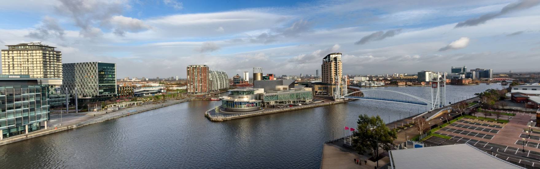
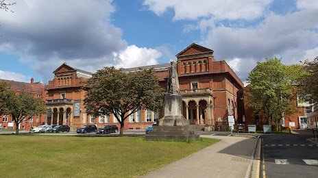
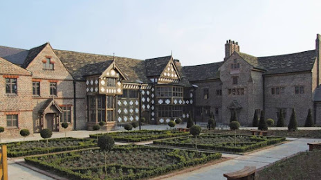
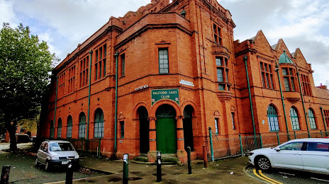
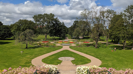
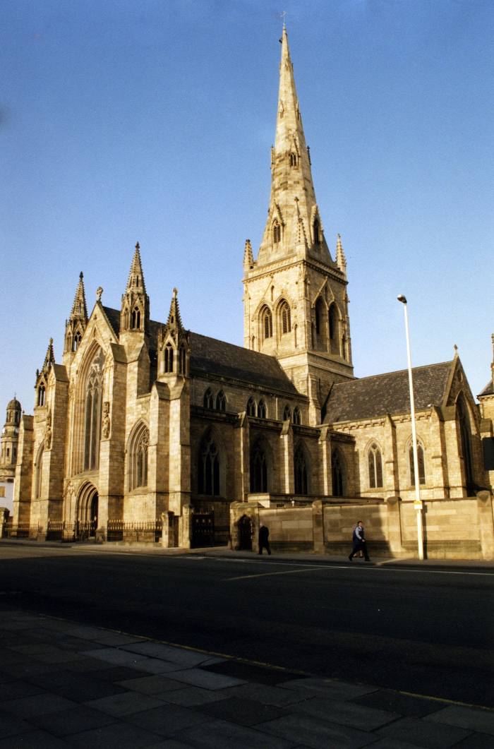
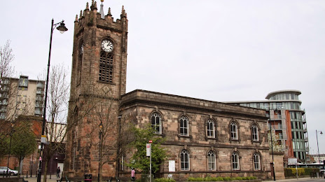
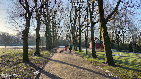
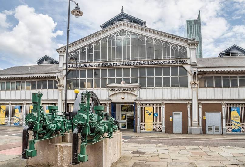
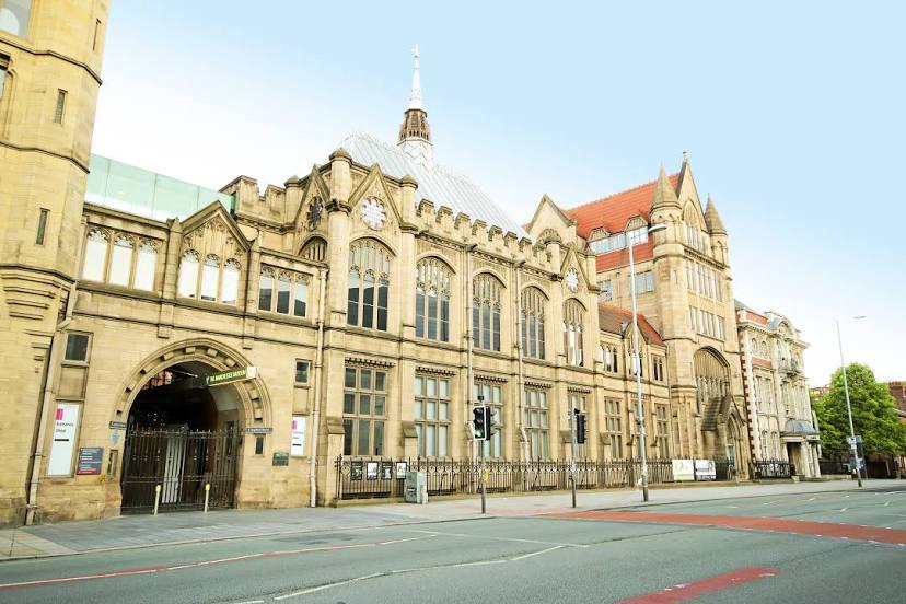
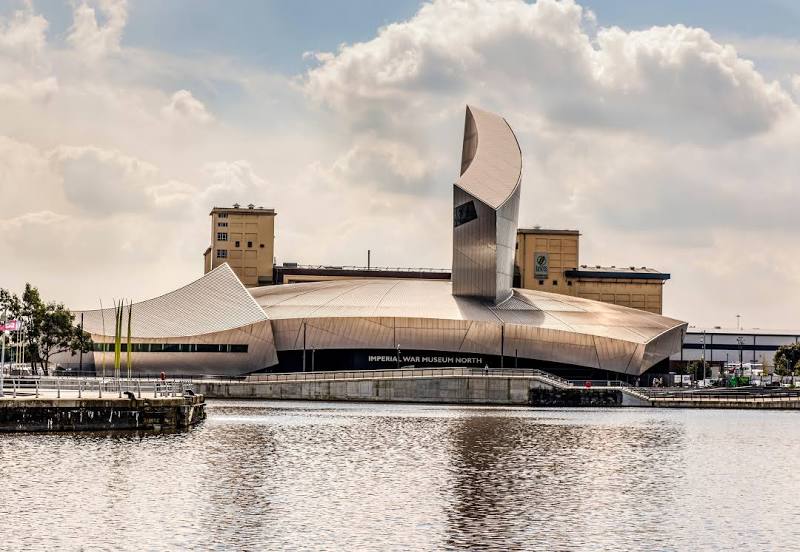
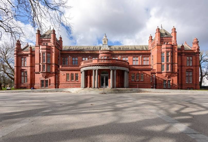
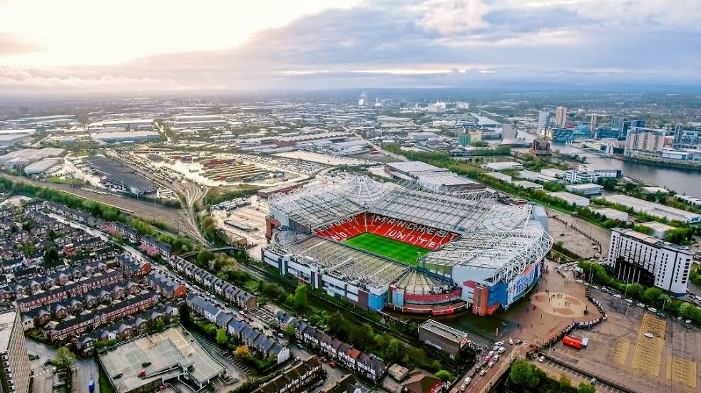
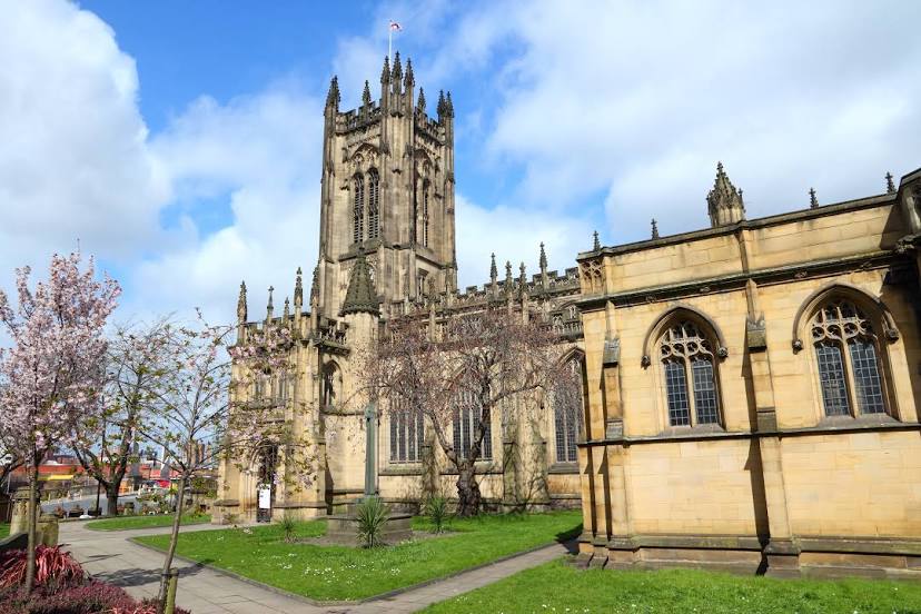
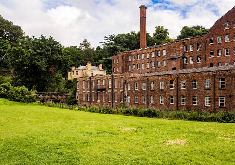
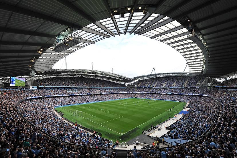
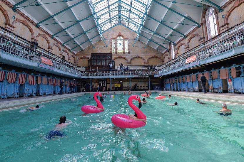
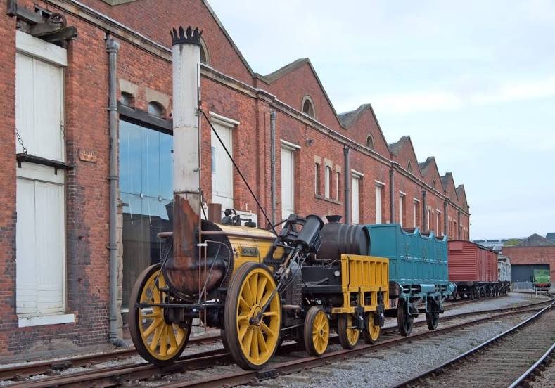
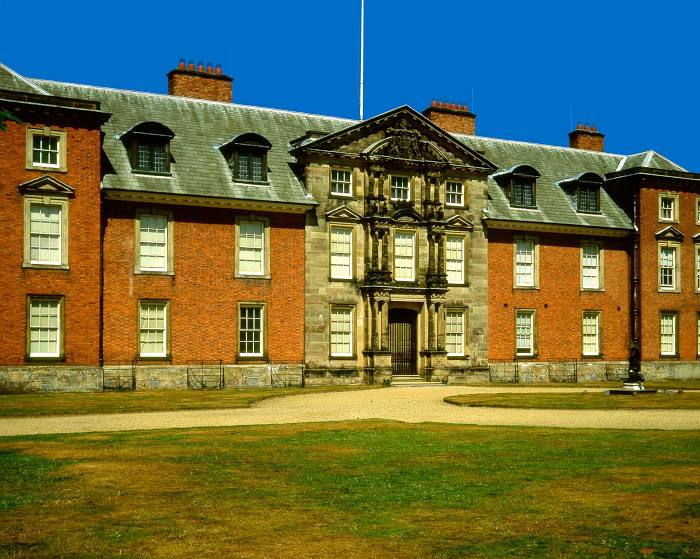
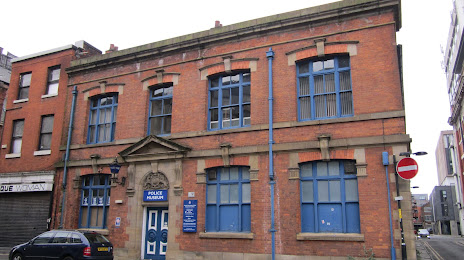
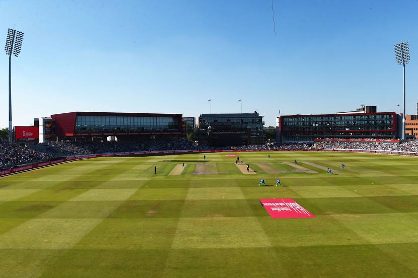
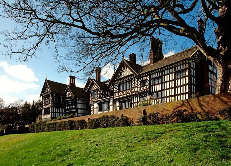
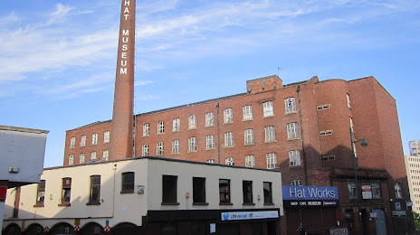
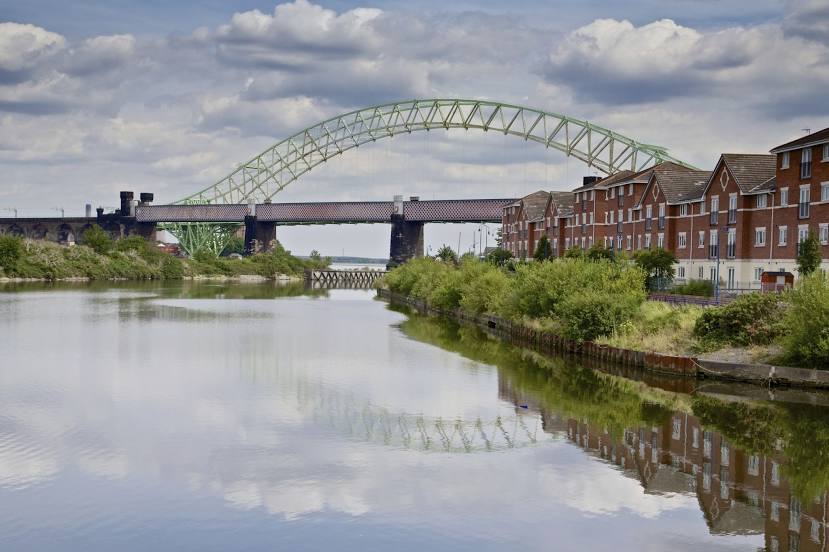
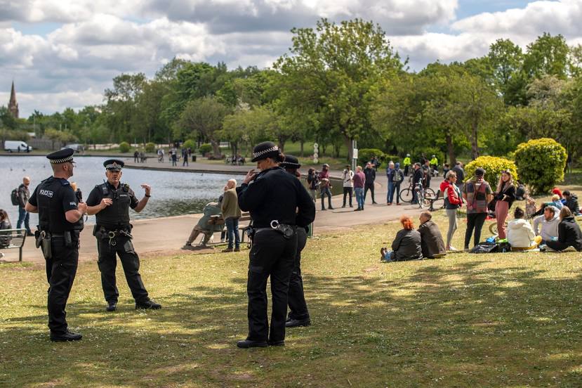
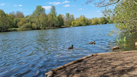
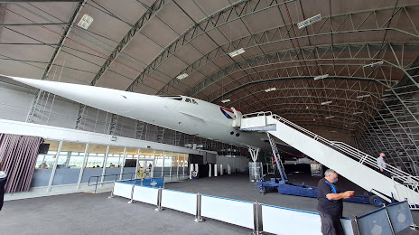
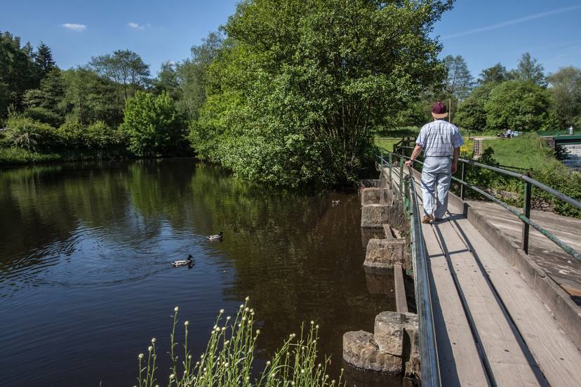
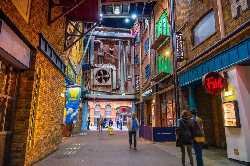
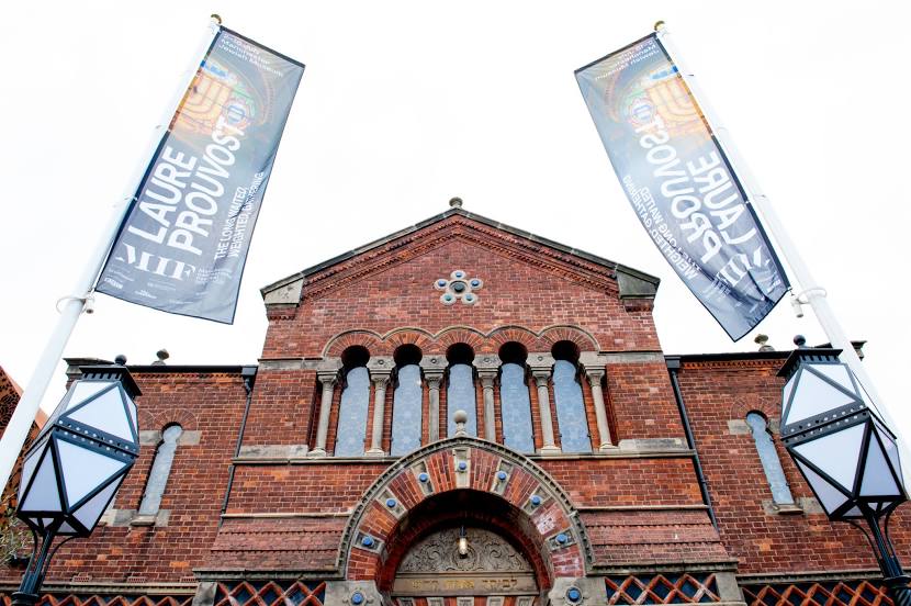
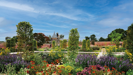
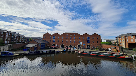
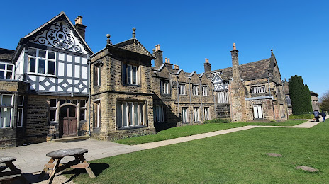
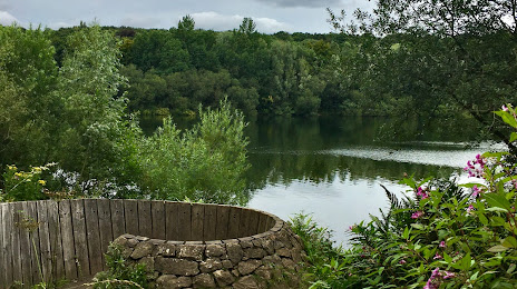
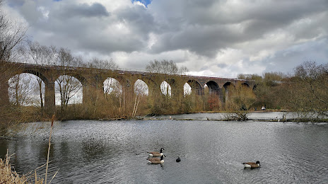
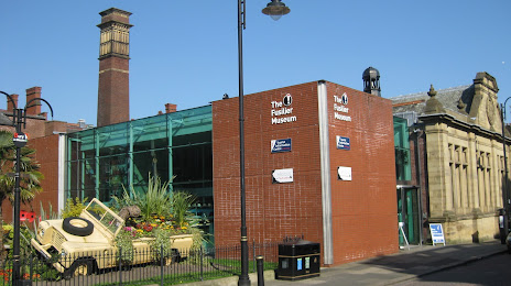
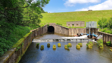
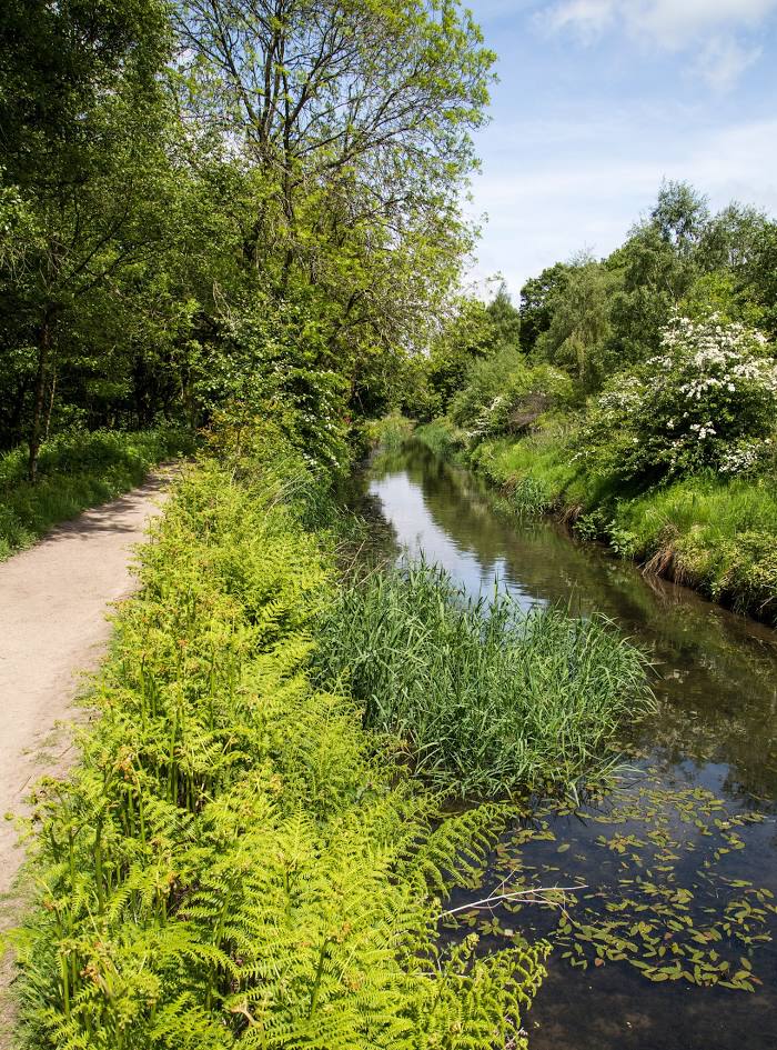
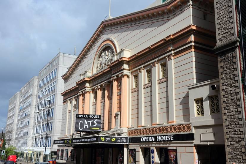
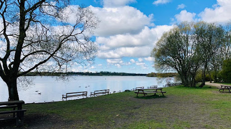
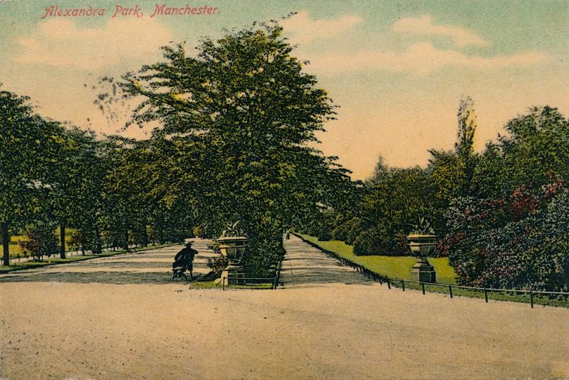
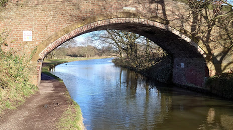
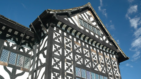
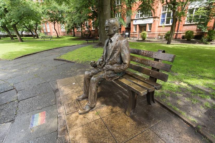
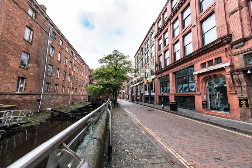
Attractions


Distance to the capital
Distance to the capital (London) is about — 264 km.