 Betteshanger
Lynton
Amesbury
Marlow
Burford
Chipping Norton
Marlborough
Cairnryan
Lydney
Betteshanger
Lynton
Amesbury
Marlow
Burford
Chipping Norton
Marlborough
Cairnryan
Lydney
World of Wings on the map, Coatbridge, United Kingdom
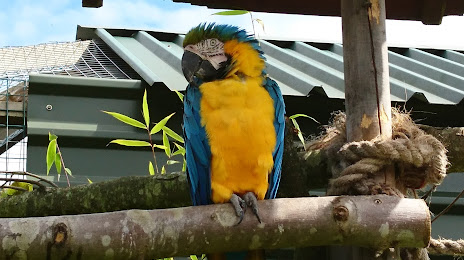
Photo
Where is located World of Wings
World of Wings — local attraction, which is located at Unnamed Rd, Luggiebank, Cumbernauld, Glasgow G67 4AA, United Kingdom and belongs to the category — tourist attraction. Average visitor rating for this place — 4.6 (according to 148 ratings, information from open sources and relevant for 2022).
Exact location — World of Wings, marked on the map with a red marker.
You can get directions to World of Wings on the map from your location.
What else is interesting in Coatbridge? You can see all the sights if you go to the city page.
Coordinates
World of Wings, United Kingdom coordinates in decimal format: latitude — 55.862789380792336, longitude — -4.132200113277204. When converted to degrees, minutes, seconds World of Wings has the following coordinates: 55°51′46.04 north latitude and -4°7′55.92 east longitude.
Nearby cities
The largest cities that are located nearby:
- Glasgow — 14 km
- Edinburgh — 52 km
- Belfast — 186 km
- Sunderland — 198 km
- Preston — 247 km
- Blackburn — 254 km
- Liverpool — 280 km
- Huddersfield — 285 km
- Manchester — 288 km
- Dublin
 (Ireland) — 315 km
 - Rotherham — 321 km
- Sheffield — 322 km
- Stoke-on-Trent — 339 km
- Telford — 367 km
- Dudley — 393 km
- Sutton Coldfield — 393 km
- West Bromwich — 394 km
- Birmingham — 400 km
- Leicester — 406 km
Distance to the capital
Distance to the capital (London) is about — 551 km.