
 Gilserberg
Berlin
Bordesholm
Bechtolsheim
Aub
Triptis
Heppenheim
Biblis
Angermünde
Gilserberg
Berlin
Bordesholm
Bechtolsheim
Aub
Triptis
Heppenheim
Biblis
Angermünde
Rehburg Hills on the map, Rehburg-Loccum, Germany
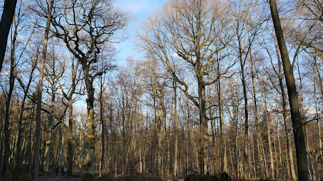
Photo
Where is located Rehburg Hills
Rehburg Hills — local attraction, which is located at Germany and belongs to the category — -. Average visitor rating for this place — 5.0 (according to 3 ratings, information from open sources and relevant for 2022).
Exact location — Rehburg Hills, marked on the map with a red marker.
You can get directions to Rehburg Hills on the map from your location.
What else is interesting in Rehburg-Loccum? You can see all the sights if you go to the city page.
Coordinates
Rehburg Hills, Germany coordinates in decimal format: latitude — 52.429606937627, longitude — 9.221151610456527. When converted to degrees, minutes, seconds Rehburg Hills has the following coordinates: 52°25′46.58 north latitude and 9°13′16.15 east longitude.
Nearby cities
The largest cities that are located nearby:
- Hanover — 38 km
- Hildesheim — 62 km
- Bielefeld — 66 km
- Bremen — 73 km
- Osnabrück — 80 km
- Salzgitter — 85 km
- Paderborn — 87 km
- Brunswick — 93 km
- Wolfsburg — 108 km
- Göttingen — 114 km
- Münster — 120 km
- Bremerhaven — 126 km
- Hamm — 128 km
- Kassel — 129 km
- Emmen
 (Netherlands) — 157 km
 - Enschede (Netherlands) — 158 km
- Dortmund — 158 km
- Recklinghausen — 166 km
- Witten — 170 km
Distance to the capital
Distance to the capital (Berlin) is about — 284 km.