 Betteshanger
Lynton
Amesbury
Marlow
Burford
Chipping Norton
Marlborough
Cairnryan
Lydney
Betteshanger
Lynton
Amesbury
Marlow
Burford
Chipping Norton
Marlborough
Cairnryan
Lydney
Stratford-upon-Avon Canal on the map, Redditch, United Kingdom
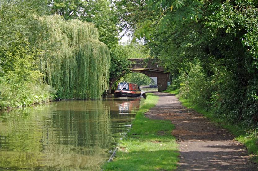
Photo
Where is located Stratford-upon-Avon Canal
Stratford-upon-Avon Canal — local attraction, which is located at Canal & River Trust and belongs to the category — -. Average visitor rating for this place — 4.8 (according to 31 rating, information from open sources and relevant for 2022).
Exact location — Stratford-upon-Avon Canal, marked on the map with a red marker.
You can get directions to Stratford-upon-Avon Canal on the map from your location.
What else is interesting in Redditch? You can see all the sights if you go to the city page.
Coordinates
Stratford-upon-Avon Canal, United Kingdom coordinates in decimal format: latitude — 52.30290702296912, longitude — -1.817438893820888. When converted to degrees, minutes, seconds Stratford-upon-Avon Canal has the following coordinates: 52°18′10.47 north latitude and -1°49′2.78 east longitude.
Nearby cities
The largest cities that are located nearby:
- Birmingham — 20 km
- Worcester — 23 km
- West Bromwich — 23 km
- Dudley — 24 km
- Sutton Coldfield — 30 km
- Coventry — 30 km
- Cheltenham — 46 km
- Telford — 53 km
- Leicester — 65 km
- Northampton — 71 km
- Oxford — 77 km
- Stoke-on-Trent — 78 km
- Swindon — 84 km
- Bristol — 104 km
- Luton — 114 km
- Reading — 115 km
- Sheffield — 123 km
- Slough — 128 km
- Watford — 129 km
Distance to the capital
Distance to the capital (London) is about — 146 km.