 Betteshanger
Lynton
Amesbury
Marlow
Burford
Chipping Norton
Marlborough
Cairnryan
Lydney
Betteshanger
Lynton
Amesbury
Marlow
Burford
Chipping Norton
Marlborough
Cairnryan
Lydney
Clevedon Pier & Heritage Trust on the map, Clevedon, United Kingdom
Photo
Where is located Clevedon Pier & Heritage Trust
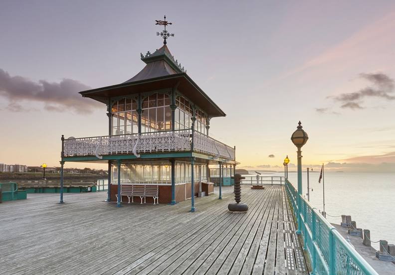
Clevedon Pier & Heritage Trust — local attraction, which is located at The Tollhouse, The Beach, Clevedon BS21 7QU, United Kingdom and belongs to the category — building. Average visitor rating for this place — 4.6 (according to 1945 ratings, information from open sources and relevant for 2022).
Exact location — Clevedon Pier & Heritage Trust, marked on the map with a red marker.
You can get directions to Clevedon Pier & Heritage Trust on the map from your location.
What else is interesting in Clevedon? You can see all the sights if you go to the city page.
Coordinates
Clevedon Pier & Heritage Trust, United Kingdom coordinates in decimal format: latitude — 51.4426209433234, longitude — -2.861485474777559. When converted to degrees, minutes, seconds Clevedon Pier & Heritage Trust has the following coordinates: 51°26′33.44 north latitude and -2°51′41.35 east longitude.
Nearby cities
The largest cities that are located nearby:
- Bristol — 19 km
- Cheltenham — 73 km
- Swindon — 75 km
- Exeter — 93 km
- Worcester — 94 km
- Bournemouth — 105 km
- Oxford — 115 km
- Southampton — 117 km
- Dudley — 129 km
- Reading — 129 km
- West Bromwich — 132 km
- Birmingham — 132 km
- Telford — 139 km
- Coventry — 140 km
- Portsmouth — 141 km
- Sutton Coldfield — 143 km
- Slough — 156 km
- Northampton — 159 km
- Watford — 171 km
Distance to the capital
Distance to the capital (London) is about — 190 km.