 Betteshanger
Lynton
Amesbury
Marlow
Burford
Chipping Norton
Marlborough
Cairnryan
Lydney
Betteshanger
Lynton
Amesbury
Marlow
Burford
Chipping Norton
Marlborough
Cairnryan
Lydney
Nottingham Canal ( Disused ) on the map, Long Eaton, United Kingdom
Photo
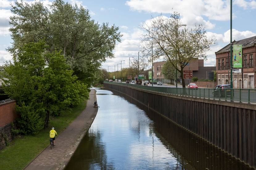
Where is located Nottingham Canal ( Disused )
Nottingham Canal ( Disused ) — local attraction, which is located at 19 + 1 stop lock and belongs to the category — -. Average visitor rating for this place — 4.5 (according to 29 ratings, information from open sources and relevant for 2022).
Exact location — Nottingham Canal ( Disused ), marked on the map with a red marker.
You can get directions to Nottingham Canal ( Disused ) on the map from your location.
What else is interesting in Long Eaton? You can see all the sights if you go to the city page.
Coordinates
Nottingham Canal ( Disused ), United Kingdom coordinates in decimal format: latitude — 52.92044385809377, longitude — -1.205584695094722. When converted to degrees, minutes, seconds Nottingham Canal ( Disused ) has the following coordinates: 52°55′13.6 north latitude and -1°12′20.1 east longitude.
Nearby cities
The largest cities that are located nearby:
- Leicester — 30 km
- Sutton Coldfield — 52 km
- Sheffield — 55 km
- Coventry — 57 km
- Rotherham — 59 km
- Stoke-on-Trent — 62 km
- Birmingham — 62 km
- West Bromwich — 64 km
- Dudley — 69 km
- Northampton — 77 km
- Telford — 82 km
- Huddersfield — 89 km
- Manchester — 91 km
- Worcester — 101 km
- Cambridge — 122 km
- Blackburn — 123 km
- Cheltenham — 123 km
- Liverpool — 127 km
- Oxford — 127 km
Distance to the capital
Distance to the capital (London) is about — 173 km.