 Betteshanger
Lynton
Amesbury
Marlow
Burford
Chipping Norton
Marlborough
Cairnryan
Lydney
Betteshanger
Lynton
Amesbury
Marlow
Burford
Chipping Norton
Marlborough
Cairnryan
Lydney
Muiravonside Country Park on the map, Bathgate, United Kingdom
Photo
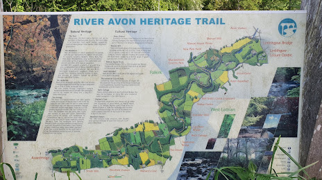
Where is located Muiravonside Country Park
Muiravonside Country Park — local attraction, which is located at The Loan, Whitecross EH49 6LW, United Kingdom and belongs to the category — park. Average visitor rating for this place — 4.6 (according to 598 ratings, information from open sources and relevant for 2022).
Exact location — Muiravonside Country Park, marked on the map with a red marker.
You can get directions to Muiravonside Country Park on the map from your location.
What else is interesting in Bathgate? You can see all the sights if you go to the city page.
Coordinates
Muiravonside Country Park, United Kingdom coordinates in decimal format: latitude — 55.96094045286575, longitude — -3.6578932746065123. When converted to degrees, minutes, seconds Muiravonside Country Park has the following coordinates: 55°57′39.39 north latitude and -3°39′28.42 east longitude.
Nearby cities
The largest cities that are located nearby:
- Edinburgh — 29 km
- Glasgow — 38 km
- Sunderland — 181 km
- Belfast — 206 km
- Preston — 244 km
- Blackburn — 250 km
- Huddersfield — 278 km
- Liverpool — 279 km
- Manchester — 283 km
- Rotherham — 312 km
- Sheffield — 313 km
- Dublin
 (Ireland) — 331 km
 - Stoke-on-Trent — 335 km
- Telford — 365 km
- Sutton Coldfield — 388 km
- Dudley — 389 km
- West Bromwich — 390 km
- Birmingham — 396 km
- Leicester — 398 km
Distance to the capital
Distance to the capital (London) is about — 547 km.