 Betteshanger
Lynton
Amesbury
Marlow
Burford
Chipping Norton
Marlborough
Cairnryan
Lydney
Betteshanger
Lynton
Amesbury
Marlow
Burford
Chipping Norton
Marlborough
Cairnryan
Lydney
National Trust - Glendurgan Garden on the map, Falmouth, United Kingdom
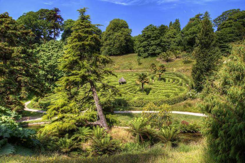
Photo
Where is located National Trust - Glendurgan Garden
National Trust - Glendurgan Garden — local attraction, which is located at Mawnan Smith, Falmouth TR11 5JZ, United Kingdom and belongs to the category — $$. Average visitor rating for this place — 4.7 (according to 1520 ratings, information from open sources and relevant for 2022).
Exact location — National Trust - Glendurgan Garden, marked on the map with a red marker.
You can get directions to National Trust - Glendurgan Garden on the map from your location.
What else is interesting in Falmouth? You can see all the sights if you go to the city page.
Coordinates
National Trust - Glendurgan Garden, United Kingdom coordinates in decimal format: latitude — 50.10680767429277, longitude — -5.117371774826207. When converted to degrees, minutes, seconds National Trust - Glendurgan Garden has the following coordinates: 50°6′24.51 north latitude and -5°7′2.54 east longitude.
Nearby cities
The largest cities that are located nearby:
- Exeter — 124 km
- Brest
 (France) — 199 km
 - Bristol — 223 km
- Bournemouth — 232 km
- Southampton — 269 km
- Swindon — 274 km
- Cheltenham — 281 km
- Portsmouth — 288 km
- Worcester — 297 km
- Cork
 (Ireland) — 303 km
 - Oxford — 315 km
- Reading — 316 km
- Dudley — 329 km
- Telford — 330 km
- West Bromwich — 333 km
- Birmingham — 335 km
- Rennes (France) — 336 km
- Slough — 342 km
- Sutton Coldfield — 345 km
Distance to the capital
Distance to the capital (London) is about — 384 km.