 Betteshanger
Lynton
Amesbury
Marlow
Burford
Chipping Norton
Marlborough
Cairnryan
Lydney
Betteshanger
Lynton
Amesbury
Marlow
Burford
Chipping Norton
Marlborough
Cairnryan
Lydney
Bridgwater & Taunton Canal on the map, Bridgwater, United Kingdom
Photo
Where is located Bridgwater & Taunton Canal
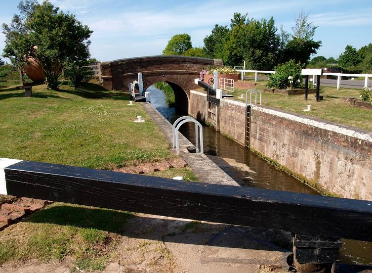
Bridgwater & Taunton Canal — local attraction, which is located at 6 and belongs to the category — -. Average visitor rating for this place — 4.7 (according to 34 ratings, information from open sources and relevant for 2022).
Exact location — Bridgwater & Taunton Canal, marked on the map with a red marker.
You can get directions to Bridgwater & Taunton Canal on the map from your location.
What else is interesting in Bridgwater? You can see all the sights if you go to the city page.
Coordinates
Bridgwater & Taunton Canal, United Kingdom coordinates in decimal format: latitude — 51.126329546077386, longitude — -3.0118004000420866. When converted to degrees, minutes, seconds Bridgwater & Taunton Canal has the following coordinates: 51°7′34.79 north latitude and -3°0′42.48 east longitude.
Nearby cities
The largest cities that are located nearby:
- Bristol — 46 km
- Exeter — 59 km
- Bournemouth — 91 km
- Swindon — 97 km
- Cheltenham — 106 km
- Southampton — 114 km
- Worcester — 129 km
- Oxford — 138 km
- Portsmouth — 138 km
- Reading — 144 km
- Dudley — 165 km
- Birmingham — 168 km
- West Bromwich — 168 km
- Slough — 171 km
- Coventry — 173 km
- Telford — 175 km
- Sutton Coldfield — 178 km
- Northampton — 188 km
- Watford — 189 km
Distance to the capital
Distance to the capital (London) is about — 205 km.