

Panipat Battle Field Memorial on the map, Panipat, India
Photo
Where is located Panipat Battle Field Memorial
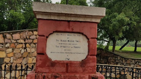
Panipat Battle Field Memorial — local attraction, which is located at 166, Model Town Rd, Model Town, Panipat, Haryana 132103, India and belongs to the category — battle site. Average visitor rating for this place — 4.2 (according to 532 ratings, information from open sources and relevant for 2022).
Exact location — Panipat Battle Field Memorial, marked on the map with a red marker.
You can get directions to Panipat Battle Field Memorial on the map from your location.
What else is interesting in Panipat? You can see all the sights if you go to the city page.
Coordinates
Panipat Battle Field Memorial, India coordinates in decimal format: latitude — 29.395991144741373, longitude — 77.02075792455479. When converted to degrees, minutes, seconds Panipat Battle Field Memorial has the following coordinates: 29°23′45.57 north latitude and 77°1′14.73 east longitude.
Nearby cities
The largest cities that are located nearby:
- Karnal — 33 km
- Rohtak — 67 km
- Delhi — 76 km
- Delhi — 77 km
- Meerut — 85 km
- Saharanpur — 85 km
- Ghaziabad — 93 km
- Roorkee — 102 km
- Gurgaon — 103 km
- Noida — 103 km
- Ambala — 111 km
- Faridabad — 114 km
- Patiala — 119 km
- Hisar — 123 km
- Gorakhpur — 125 km
- Haridwar — 130 km
- Rewari — 138 km
- Chandigarh — 149 km
- Barnala — 174 km
Distance to the capital
Distance to the capital (New Delhi) is about — 89 km.