 Betteshanger
Lynton
Amesbury
Marlow
Burford
Chipping Norton
Marlborough
Cairnryan
Lydney
Betteshanger
Lynton
Amesbury
Marlow
Burford
Chipping Norton
Marlborough
Cairnryan
Lydney
Bridgwater & Taunton Canal on the map, Taunton, United Kingdom
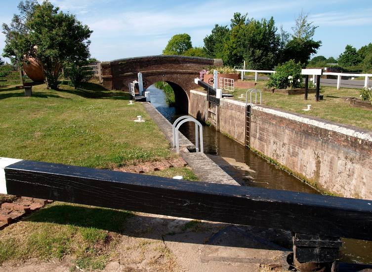
Photo
Where is located Bridgwater & Taunton Canal
Bridgwater & Taunton Canal — local attraction, which is located at 6 and belongs to the category — -. Average visitor rating for this place — 4.7 (according to 34 ratings, information from open sources and relevant for 2022).
Exact location — Bridgwater & Taunton Canal, marked on the map with a red marker.
You can get directions to Bridgwater & Taunton Canal on the map from your location.
What else is interesting in Taunton? You can see all the sights if you go to the city page.
Coordinates
Bridgwater & Taunton Canal, United Kingdom coordinates in decimal format: latitude — 51.12939352243284, longitude — -2.9946633926308865. When converted to degrees, minutes, seconds Bridgwater & Taunton Canal has the following coordinates: 51°7′45.82 north latitude and -2°59′40.79 east longitude.
Nearby cities
The largest cities that are located nearby:
- Exeter — 44 km
- Bristol — 60 km
- Bournemouth — 92 km
- Swindon — 109 km
- Southampton — 119 km
- Cheltenham — 120 km
- Portsmouth — 143 km
- Worcester — 143 km
- Oxford — 151 km
- Reading — 154 km
- Dudley — 179 km
- Slough — 181 km
- Birmingham — 182 km
- West Bromwich — 182 km
- Coventry — 187 km
- Telford — 189 km
- Sutton Coldfield — 192 km
- Watford — 199 km
- Northampton — 202 km
Distance to the capital
Distance to the capital (London) is about — 204 km.