Ribes de Freser — Los Pradillos
Ribes de Freser — Villamanta
Ribes de Freser — La Unión
Ribes de Freser — Sant Vicenç de Castellet
Ribes de Freser — Villavante
Ribes de Freser — Plentzia
Ribes de Freser — Mimetiz
Ribes de Freser — Casas de los Pinos
Ribes de Freser — Doña Mencía
Ribes de Freser — El Mazuco
Ribes de Freser — Horcajuelo de la Sierra
Ribes de Freser — Mahon
Ribes de Freser — Ramales de la Victoria
Ribes de Freser — Bellavista
Ribes de Freser — Corpa
Ribes de Freser — El Bujeo
Ribes de Freser — Pájara
Ribes de Freser — Montijo
Ribes de Freser — La Robla
Ribes de Freser — A Coruña distance, route on the map
Distance by car
Distance between Ribes de Freser, Catalunya, Spain and A Coruña, Galicia, Spain by car is — km, or miles. To travel this distance by car, you need minute, or h.
Route on the map, driving directions
Car route Ribes de Freser — A Coruña was created automatically. The road on the map is shown as a blue line. By moving the markers, you can create a new route through the points you need.
Distance by plane
If you decide to take a trip Ribes de Freser A Coruña by plane, then you have to fly the distance — 870 km or 539 miles. It is marked on the map with a gray line (between two points in a straight line).
Flight time
Estimated flight time Ribes de Freser A Coruña by plane at cruising speed 750 km / h will be — 1 h. and 9 min.
Direction of movement
Spain, Ribes de Freser — right-hand traffic. Spain, A Coruña — right-hand traffic.
Difference in time
Ribes de Freser and A Coruña are in the same time zone. Between them there is no time difference (UTC +2 Europe/Madrid).
Interesting Facts
Information on alternative ways to get to your destination.
The length of this distance is about 2.2% of the total length of the equator.
The percentage of the population is clearly shown in the graph:
Ribes de Freser — 2,033 (less by 233,977), A Coruña — 236,010 residents.
The cost of travel
Calculate the cost of the trip yourself using the fuel consumption calculator, changing the data in the table.
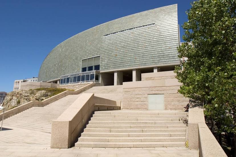
![Museo Nacional de Ciencia y Tecnología (Museo Nacional de Ciencia y Tecnología [MUNCyT]), A Coruña](https://cloud.2markers.com/storage/1137_21858.jpg)