 Betteshanger
Lynton
Amesbury
Marlow
Burford
Chipping Norton
Marlborough
Cairnryan
Lydney
Betteshanger
Lynton
Amesbury
Marlow
Burford
Chipping Norton
Marlborough
Cairnryan
Lydney
Segedunum Roman Fort & Museum on the map, Newcastle upon Tyne, United Kingdom
Photo
Where is located Segedunum Roman Fort & Museum
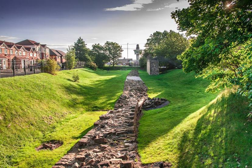
Segedunum Roman Fort & Museum — local attraction, which is located at Buddle St, Wallsend, Newcastle upon Tyne NE28 6HR, United Kingdom and belongs to the category — museum. Average visitor rating for this place — 4.3 (according to 493 ratings, information from open sources and relevant for 2022).
Exact location — Segedunum Roman Fort & Museum, marked on the map with a red marker.
You can get directions to Segedunum Roman Fort & Museum on the map from your location.
What else is interesting in Newcastle upon Tyne? You can see all the sights if you go to the city page.
Coordinates
Segedunum Roman Fort & Museum, United Kingdom coordinates in decimal format: latitude — 54.98844848025906, longitude — -1.5312047745495712. When converted to degrees, minutes, seconds Segedunum Roman Fort & Museum has the following coordinates: 54°59′18.41 north latitude and -1°31′52.34 east longitude.
Nearby cities
The largest cities that are located nearby:
- Sunderland — 17 km
- Edinburgh — 145 km
- Blackburn — 147 km
- Huddersfield — 148 km
- Preston — 152 km
- Manchester — 171 km
- Rotherham — 172 km
- Sheffield — 177 km
- Glasgow — 191 km
- Liverpool — 196 km
- Stoke-on-Trent — 222 km
- Telford — 260 km
- Leicester — 261 km
- Sutton Coldfield — 267 km
- West Bromwich — 273 km
- Dudley — 274 km
- Birmingham — 276 km
- Belfast — 279 km
- Coventry — 284 km
Distance to the capital
Distance to the capital (London) is about — 398 km.