 Betteshanger
Lynton
Amesbury
Marlow
Burford
Chipping Norton
Marlborough
Cairnryan
Lydney
Betteshanger
Lynton
Amesbury
Marlow
Burford
Chipping Norton
Marlborough
Cairnryan
Lydney
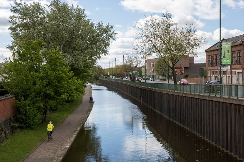
Nottingham Canal ( Disused ) on the map, Nottingham, United Kingdom
Photo
Where is located Nottingham Canal ( Disused )
Nottingham Canal ( Disused ) — local attraction, which is located at Langley Mill and belongs to the category — -. Average visitor rating for this place — 4.5 (according to 29 ratings, information from open sources and relevant for 2022).
Exact location — Nottingham Canal ( Disused ), marked on the map with a red marker.
You can get directions to Nottingham Canal ( Disused ) on the map from your location.
What else is interesting in Nottingham? You can see all the sights if you go to the city page.
Coordinates
Nottingham Canal ( Disused ), United Kingdom coordinates in decimal format: latitude — 52.97205716881379, longitude — -1.2841793308319416. When converted to degrees, minutes, seconds Nottingham Canal ( Disused ) has the following coordinates: 52°58′19.41 north latitude and -1°17′3.05 east longitude.
Nearby cities
The largest cities that are located nearby:
- Leicester — 35 km
- Sheffield — 51 km
- Rotherham — 55 km
- Sutton Coldfield — 62 km
- Coventry — 65 km
- Stoke-on-Trent — 68 km
- Birmingham — 72 km
- West Bromwich — 74 km
- Dudley — 79 km
- Northampton — 81 km
- Huddersfield — 87 km
- Telford — 92 km
- Manchester — 92 km
- Worcester — 111 km
- Cambridge — 120 km
- Blackburn — 124 km
- Luton — 129 km
- Liverpool — 131 km
- Cheltenham — 133 km
Distance to the capital
Distance to the capital (London) is about — 181 km.