 Betteshanger
Lynton
Amesbury
Marlow
Burford
Chipping Norton
Marlborough
Cairnryan
Lydney
Betteshanger
Lynton
Amesbury
Marlow
Burford
Chipping Norton
Marlborough
Cairnryan
Lydney
National Trust - Cadbury Camp on the map, Bristol, United Kingdom
Photo
Where is located National Trust - Cadbury Camp
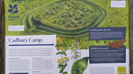
National Trust - Cadbury Camp — local attraction, which is located at Cadbury Camp Ln W, Tickenham, Bristol BS20 7SF, United Kingdom and belongs to the category — $$. Average visitor rating for this place — 4.6 (according to 77 ratings, information from open sources and relevant for 2022).
Exact location — National Trust - Cadbury Camp, marked on the map with a red marker.
You can get directions to National Trust - Cadbury Camp on the map from your location.
What else is interesting in Bristol? You can see all the sights if you go to the city page.
Coordinates
National Trust - Cadbury Camp, United Kingdom coordinates in decimal format: latitude — 51.44859119088758, longitude — -2.7869321746827667. When converted to degrees, minutes, seconds National Trust - Cadbury Camp has the following coordinates: 51°26′54.93 north latitude and -2°47′12.96 east longitude.
Nearby cities
The largest cities that are located nearby:
- Swindon — 57 km
- Cheltenham — 60 km
- Worcester — 85 km
- Bournemouth — 95 km
- Oxford — 97 km
- Southampton — 102 km
- Exeter — 105 km
- Reading — 111 km
- Dudley — 122 km
- Birmingham — 123 km
- West Bromwich — 124 km
- Portsmouth — 126 km
- Coventry — 128 km
- Sutton Coldfield — 134 km
- Telford — 136 km
- Slough — 137 km
- Northampton — 143 km
- Watford — 152 km
- Luton — 155 km
Distance to the capital
Distance to the capital (London) is about — 184 km.