 Betteshanger
Lynton
Amesbury
Marlow
Burford
Chipping Norton
Marlborough
Cairnryan
Lydney
Betteshanger
Lynton
Amesbury
Marlow
Burford
Chipping Norton
Marlborough
Cairnryan
Lydney
National Trust - Berrington Hall on the map, Hereford, United Kingdom
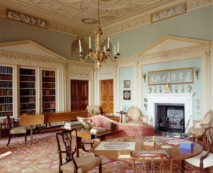
Photo
Where is located National Trust - Berrington Hall
National Trust - Berrington Hall — local attraction, which is located at Berrington Hall near, Leominster HR6 0DW, United Kingdom and belongs to the category — $$. Average visitor rating for this place — 4.5 (according to 1444 ratings, information from open sources and relevant for 2022).
Exact location — National Trust - Berrington Hall, marked on the map with a red marker.
You can get directions to National Trust - Berrington Hall on the map from your location.
What else is interesting in Hereford? You can see all the sights if you go to the city page.
Coordinates
National Trust - Berrington Hall, United Kingdom coordinates in decimal format: latitude — 52.16800103177048, longitude — -2.7747394652880173. When converted to degrees, minutes, seconds National Trust - Berrington Hall has the following coordinates: 52°10′4.8 north latitude and -2°46′29.06 east longitude.
Nearby cities
The largest cities that are located nearby:
- Worcester — 37 km
- Cheltenham — 47 km
- Dudley — 66 km
- Bristol — 67 km
- West Bromwich — 70 km
- Telford — 71 km
- Birmingham — 73 km
- Sutton Coldfield — 83 km
- Swindon — 85 km
- Coventry — 90 km
- Oxford — 105 km
- Stoke-on-Trent — 111 km
- Leicester — 124 km
- Northampton — 124 km
- Reading — 137 km
- Liverpool — 151 km
- Southampton — 156 km
- Slough — 158 km
- Luton — 158 km
Distance to the capital
Distance to the capital (London) is about — 196 km.