 Betteshanger
Lynton
Amesbury
Marlow
Burford
Chipping Norton
Marlborough
Cairnryan
Lydney
Betteshanger
Lynton
Amesbury
Marlow
Burford
Chipping Norton
Marlborough
Cairnryan
Lydney
Mynydd y Lan on the map, Cwmbran, United Kingdom
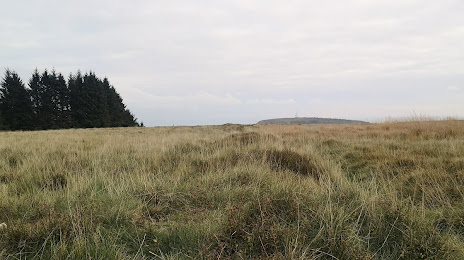
Photo
Where is located Mynydd y Lan
Mynydd y Lan — local attraction, which is located at 381 m and belongs to the category — -. Average visitor rating for this place — 5.0 (according to 1 rating, information from open sources and relevant for 2022).
Exact location — Mynydd y Lan, marked on the map with a red marker.
You can get directions to Mynydd y Lan on the map from your location.
What else is interesting in Cwmbran? You can see all the sights if you go to the city page.
Coordinates
Mynydd y Lan, United Kingdom coordinates in decimal format: latitude — 51.649590292652356, longitude — -3.0335857950693335. When converted to degrees, minutes, seconds Mynydd y Lan has the following coordinates: 51°38′58.53 north latitude and -3°2′0.91 east longitude.
Nearby cities
The largest cities that are located nearby:
- Bristol — 37 km
- Cheltenham — 71 km
- Worcester — 81 km
- Swindon — 87 km
- Exeter — 109 km
- Dudley — 115 km
- West Bromwich — 119 km
- Birmingham — 120 km
- Telford — 120 km
- Oxford — 122 km
- Sutton Coldfield — 130 km
- Bournemouth — 131 km
- Coventry — 132 km
- Southampton — 140 km
- Reading — 143 km
- Northampton — 158 km
- Stoke-on-Trent — 160 km
- Portsmouth — 164 km
- Leicester — 167 km
Distance to the capital
Distance to the capital (London) is about — 201 km.