 Betteshanger
Lynton
Amesbury
Marlow
Burford
Chipping Norton
Marlborough
Cairnryan
Lydney
Betteshanger
Lynton
Amesbury
Marlow
Burford
Chipping Norton
Marlborough
Cairnryan
Lydney
St Just-in-Roseland Church on the map, Truro, United Kingdom
Photo
Where is located St Just-in-Roseland Church
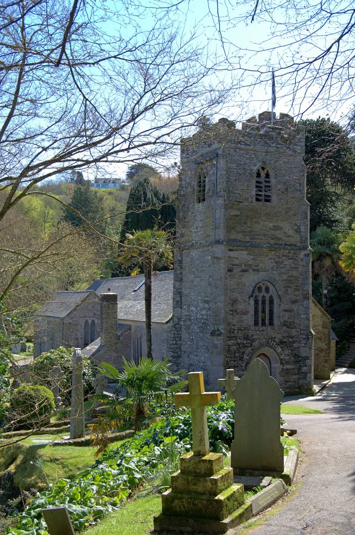
St Just-in-Roseland Church — local attraction, which is located at St Just in Roseland, Truro TR2 5JD, United Kingdom and belongs to the category — anglican church. Average visitor rating for this place — 4.9 (according to 198 ratings, information from open sources and relevant for 2022).
Exact location — St Just-in-Roseland Church, marked on the map with a red marker.
You can get directions to St Just-in-Roseland Church on the map from your location.
What else is interesting in Truro? You can see all the sights if you go to the city page.
Coordinates
St Just-in-Roseland Church, United Kingdom coordinates in decimal format: latitude — 50.18267462959436, longitude — -5.015249358919197. When converted to degrees, minutes, seconds St Just-in-Roseland Church has the following coordinates: 50°10′57.63 north latitude and -5°0′54.9 east longitude.
Nearby cities
The largest cities that are located nearby:
- Exeter — 118 km
- Brest
 (France) — 211 km
 - Bristol — 215 km
- Bournemouth — 228 km
- Southampton — 264 km
- Swindon — 266 km
- Cheltenham — 272 km
- Portsmouth — 284 km
- Worcester — 287 km
- Cork
 (Ireland) — 296 km
 - Oxford — 307 km
- Reading — 310 km
- Dudley — 319 km
- Telford — 319 km
- West Bromwich — 323 km
- Birmingham — 325 km
- Sutton Coldfield — 335 km
- Coventry — 336 km
- Slough — 336 km
Distance to the capital
Distance to the capital (London) is about — 373 km.