 Betteshanger
Lynton
Amesbury
Marlow
Burford
Chipping Norton
Marlborough
Cairnryan
Lydney
Betteshanger
Lynton
Amesbury
Marlow
Burford
Chipping Norton
Marlborough
Cairnryan
Lydney
SAW - The Ride on the map, Weybridge, United Kingdom
Photo
Where is located SAW - The Ride
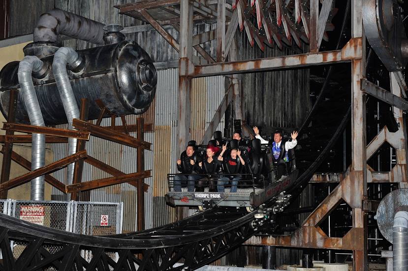
SAW - The Ride — local attraction, which is located at Thorpe Park, Staines Rd, Chertsey KT16 8PN, United Kingdom and belongs to the category — roller coaster. Average visitor rating for this place — 4.6 (according to 3296 ratings, information from open sources and relevant for 2022).
Exact location — SAW - The Ride, marked on the map with a red marker.
You can get directions to SAW - The Ride on the map from your location.
What else is interesting in Weybridge? You can see all the sights if you go to the city page.
Coordinates
SAW - The Ride, United Kingdom coordinates in decimal format: latitude — 51.40259181401785, longitude — -0.5118294747790442. When converted to degrees, minutes, seconds SAW - The Ride has the following coordinates: 51°24′9.33 north latitude and -0°30′42.59 east longitude.
Nearby cities
The largest cities that are located nearby:
- Slough — 18 km
- Sutton — 18 km
- Watford — 32 km
- Crawley — 35 km
- Reading — 37 km
- Luton — 56 km
- Basildon — 69 km
- Oxford — 69 km
- Gillingham — 70 km
- Chelmsford — 75 km
- Portsmouth — 75 km
- Southend-on-Sea — 82 km
- Southampton — 83 km
- Eastbourne — 85 km
- Swindon — 93 km
- Cambridge — 100 km
- Northampton — 101 km
- Bournemouth — 123 km
- Cheltenham — 125 km
Distance to the capital
Distance to the capital (London) is about — 29 km.