 Betteshanger
Lynton
Amesbury
Marlow
Burford
Chipping Norton
Marlborough
Cairnryan
Lydney
Betteshanger
Lynton
Amesbury
Marlow
Burford
Chipping Norton
Marlborough
Cairnryan
Lydney
National Trust - Chirk Castle on the map, Rhosllanerchrugog, United Kingdom
Photo
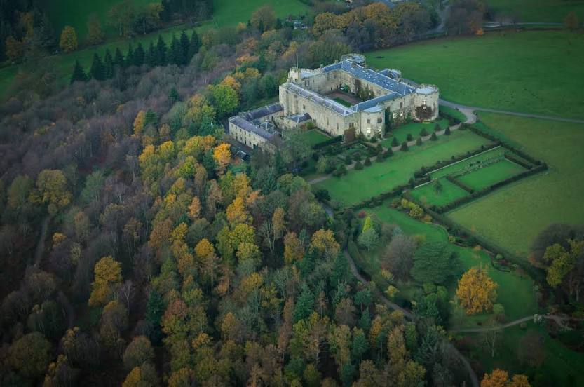
Where is located National Trust - Chirk Castle
National Trust - Chirk Castle — local attraction, which is located at Chirk Castle LL14 5AF, United Kingdom and belongs to the category — $$. Average visitor rating for this place — 4.7 (according to 3649 ratings, information from open sources and relevant for 2022).
Exact location — National Trust - Chirk Castle, marked on the map with a red marker.
You can get directions to National Trust - Chirk Castle on the map from your location.
What else is interesting in Rhosllanerchrugog? You can see all the sights if you go to the city page.
Coordinates
National Trust - Chirk Castle, United Kingdom coordinates in decimal format: latitude — 52.93533298091907, longitude — -3.0894703746275702. When converted to degrees, minutes, seconds National Trust - Chirk Castle has the following coordinates: 52°56′7.2 north latitude and -3°5′22.09 east longitude.
Nearby cities
The largest cities that are located nearby:
- Liverpool — 44 km
- Telford — 55 km
- Stoke-on-Trent — 58 km
- Manchester — 75 km
- Dudley — 86 km
- Preston — 86 km
- Blackburn — 89 km
- West Bromwich — 90 km
- Sutton Coldfield — 96 km
- Birmingham — 98 km
- Worcester — 107 km
- Huddersfield — 109 km
- Sheffield — 112 km
- Rotherham — 121 km
- Coventry — 124 km
- Leicester — 135 km
- Cheltenham — 140 km
- Northampton — 169 km
- Bristol — 175 km
Distance to the capital
Distance to the capital (London) is about — 257 km.