
 Warner Robins
Wantagh
Bethel
Misty Hill Farm
United States
Wakonda Beach (R33) Airport
Wilmington
Poland
Miami International Airport
Warner Robins
Wantagh
Bethel
Misty Hill Farm
United States
Wakonda Beach (R33) Airport
Wilmington
Poland
Miami International Airport
Centro Cultural Hispano de San Marcos on the map, San Marcos, United States
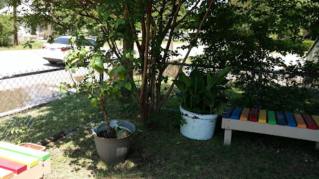
Photo
Where is located Centro Cultural Hispano de San Marcos
Centro Cultural Hispano de San Marcos — local attraction, which is located at 211 Lee St, San Marcos, TX 78666, United States and belongs to the category — cultural center. Average visitor rating for this place — 4.6 (according to 61 rating, information from open sources and relevant for 2022).
Exact location — Centro Cultural Hispano de San Marcos, marked on the map with a red marker.
You can get directions to Centro Cultural Hispano de San Marcos on the map from your location.
What else is interesting in San Marcos? You can see all the sights if you go to the city page.
Coordinates
Centro Cultural Hispano de San Marcos, United States coordinates in decimal format: latitude — 29.874841317821236, longitude — -97.93829087533945. When converted to degrees, minutes, seconds Centro Cultural Hispano de San Marcos has the following coordinates: 29°52′29.43 north latitude and -97°56′17.85 east longitude.
Nearby cities
The largest cities that are located nearby:
- Austin — 46 km
- San Antonio — 74 km
- Killeen — 138 km
- Waco — 199 km
- Corpus Christi — 236 km
- Houston — 247 km
- Piedras Negras
 (Mexico) — 282 km
 - Ciudad Acuna (Mexico) — 297 km
- Laredo — 301 km
- Nuevo Laredo (Mexico) — 309 km
- Fort Worth — 323 km
- Arlington — 325 km
- Grand Prairie — 328 km
- Abilene — 329 km
- Irving — 337 km
- Dallas — 337 km
- Mesquite — 342 km
- Carrollton — 356 km
- Garland — 356 km
Distance to the capital
Distance to the capital (Washington) is about — 2158 km.