
 Warner Robins
Wantagh
Bethel
Misty Hill Farm
United States
Wakonda Beach (R33) Airport
Wilmington
Poland
Miami International Airport
Warner Robins
Wantagh
Bethel
Misty Hill Farm
United States
Wakonda Beach (R33) Airport
Wilmington
Poland
Miami International Airport
Garrett Road Park on the map, Durham, United States
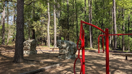
Photo
Where is located Garrett Road Park
Garrett Road Park — local attraction, which is located at 6815 Garrett Rd, Durham, NC 27707, United States and belongs to the category — park. Average visitor rating for this place — 4.1 (according to 80 ratings, information from open sources and relevant for 2022).
Exact location — Garrett Road Park, marked on the map with a red marker.
You can get directions to Garrett Road Park on the map from your location.
What else is interesting in Durham? You can see all the sights if you go to the city page.
Coordinates
Garrett Road Park, United States coordinates in decimal format: latitude — 35.92215358248041, longitude — -78.95991537518519. When converted to degrees, minutes, seconds Garrett Road Park has the following coordinates: 35°55′19.75 north latitude and -78°57′35.7 east longitude.
Nearby cities
The largest cities that are located nearby:
- Cary — 25 km
- Raleigh — 33 km
- Greensboro — 80 km
- Fayetteville — 104 km
- Winston-Salem — 121 km
- Charlotte — 195 km
- Richmond — 214 km
- Chesapeake — 247 km
- Norfolk — 250 km
- Hampton — 253 km
- Virginia Beach — 275 km
- Columbia — 295 km
- Alexandria — 349 km
- Charleston — 368 km
- Baltimore — 414 km
- Knoxville — 449 km
- Savannah — 479 km
- Pittsburgh — 500 km
- Philadelphia — 540 km
Distance to the capital
Distance to the capital (Washington) is about — 373 km.