
 Warner Robins
Wantagh
Bethel
Misty Hill Farm
United States
Wakonda Beach (R33) Airport
Wilmington
Poland
Miami International Airport
Warner Robins
Wantagh
Bethel
Misty Hill Farm
United States
Wakonda Beach (R33) Airport
Wilmington
Poland
Miami International Airport
Pueblo Grande Museum Archaeological Park on the map, Phoenix, United States
Photo
Where is located Pueblo Grande Museum Archaeological Park
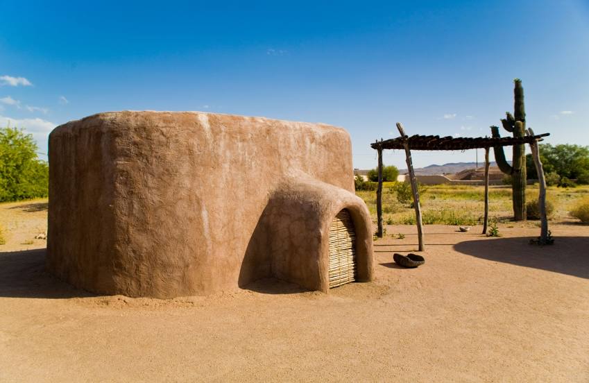
Pueblo Grande Museum Archaeological Park — local attraction, which is located at 4619 E Washington St, Phoenix, AZ 85034, United States and belongs to the category — museum. Average visitor rating for this place — 4.5 (according to 653 ratings, information from open sources and relevant for 2022).
Exact location — Pueblo Grande Museum Archaeological Park, marked on the map with a red marker.
You can get directions to Pueblo Grande Museum Archaeological Park on the map from your location.
What else is interesting in Phoenix? You can see all the sights if you go to the city page.
Coordinates
Pueblo Grande Museum Archaeological Park, United States coordinates in decimal format: latitude — 33.4457031957416, longitude — -111.9847557752514. When converted to degrees, minutes, seconds Pueblo Grande Museum Archaeological Park has the following coordinates: 33°26′44.53 north latitude and -111°59′5.12 east longitude.
Nearby cities
The largest cities that are located nearby:
- Tempe — 13 km
- Glendale — 14 km
- Scottsdale — 15 km
- Peoria — 21 km
- Mesa — 23 km
- Chandler — 27 km
- Gilbert — 28 km
- Tucson — 173 km
- Nogales — 257 km
- San Luis Río Colorado
 (Mexico) — 275 km
 - Mexicali (Mexico) — 328 km
- Henderson — 387 km
- Las Vegas — 407 km
- North Las Vegas — 408 km
- Spring Valley — 408 km
- Ensenada (Mexico) — 460 km
- Escondido — 466 km
- Tijuana (Mexico) — 474 km
- Chula Vista — 475 km
Distance to the capital
Distance to the capital (Washington) is about — 3176 km.