
 Warner Robins
Wantagh
Bethel
Misty Hill Farm
United States
Wakonda Beach (R33) Airport
Wilmington
Poland
Miami International Airport
Warner Robins
Wantagh
Bethel
Misty Hill Farm
United States
Wakonda Beach (R33) Airport
Wilmington
Poland
Miami International Airport
La Vina Winery, Inc. on the map, El Paso, United States
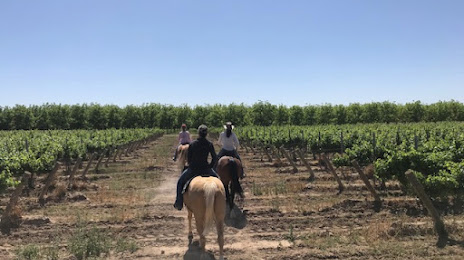
Photo
Where is located La Vina Winery, Inc.
La Vina Winery, Inc. — local attraction, which is located at 4201 S. Highway 28, Anthony, NM 88021, United States and belongs to the category — winery. Average visitor rating for this place — 4.6 (according to 175 ratings, information from open sources and relevant for 2022).
Exact location — La Vina Winery, Inc., marked on the map with a red marker.
You can get directions to La Vina Winery, Inc. on the map from your location.
What else is interesting in El Paso? You can see all the sights if you go to the city page.
Coordinates
La Vina Winery, Inc., United States coordinates in decimal format: latitude — 31.96985012421541, longitude — -106.65226307528887. When converted to degrees, minutes, seconds La Vina Winery, Inc. has the following coordinates: 31°58′11.46 north latitude and -106°39′8.15 east longitude.
Nearby cities
The largest cities that are located nearby:
- Ciudad Juarez
 (Mexico) — 10 km
 - Valencia — 335 km
- Chihuahua (Mexico) — 350 km
- Albuquerque — 366 km
- Delicias (Mexico) — 407 km
- Tucson — 422 km
- Nogales — 427 km
- Lubbock — 467 km
- Gilbert — 524 km
- Chandler — 527 km
- Hermosillo (Mexico) — 529 km
- Mesa — 529 km
- Tempe — 539 km
- Scottsdale — 540 km
- Phoenix — 551 km
- Glendale — 564 km
- Amarillo — 564 km
- Peoria — 570 km
- Ciudad Obregón (Mexico) — 585 km
Distance to the capital
Distance to the capital (Washington) is about — 2779 km.