
 Warner Robins
Wantagh
Bethel
Misty Hill Farm
United States
Wakonda Beach (R33) Airport
Wilmington
Poland
Miami International Airport
Warner Robins
Wantagh
Bethel
Misty Hill Farm
United States
Wakonda Beach (R33) Airport
Wilmington
Poland
Miami International Airport
Eastbank Esplanade on the map, Portland, United States
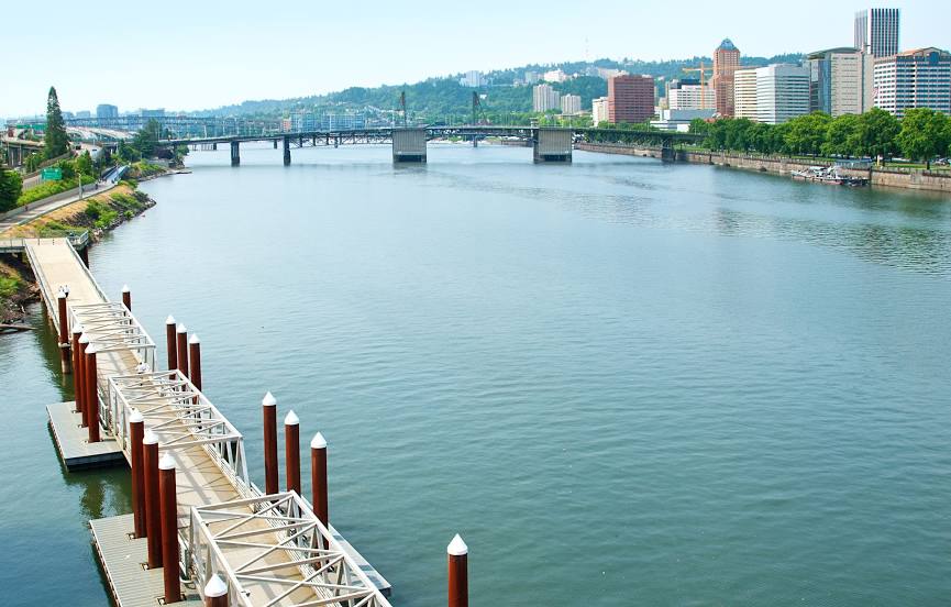
Photo
Where is located Eastbank Esplanade
Eastbank Esplanade — local attraction, which is located at SE Salmon St, Portland, OR 97214, United States and belongs to the category — bridge. Average visitor rating for this place — 4.4 (according to 117 ratings, information from open sources and relevant for 2022).
Exact location — Eastbank Esplanade, marked on the map with a red marker.
You can get directions to Eastbank Esplanade on the map from your location.
What else is interesting in Portland? You can see all the sights if you go to the city page.
Coordinates
Eastbank Esplanade, United States coordinates in decimal format: latitude — 45.51713764968129, longitude — -122.6674988748914. When converted to degrees, minutes, seconds Eastbank Esplanade has the following coordinates: 45°31′1.7 north latitude and -122°40′3 east longitude.
Nearby cities
The largest cities that are located nearby:
- Vancouver — 13 km
- Salem — 70 km
- Eugene — 166 km
- Tacoma — 192 km
- Seattle — 232 km
- Bellevue — 233 km
- Victoria
 (Canada) — 325 km
 - Abbotsford (Canada) — 391 km
- Delta (Canada) — 396 km
- Richmond (Canada) — 404 km
- Surrey (Canada) — 405 km
- Burnaby (Canada) — 414 km
- Coquitlam (Canada) — 416 km
- Anmore (Canada) — 419 km
- Spokane — 457 km
- Kelowna (Canada) — 533 km
- Boise — 558 km
- Reno — 706 km
- Roseville — 758 km
Distance to the capital
Distance to the capital (Washington) is about — 3778 km.