
 Warner Robins
Wantagh
Bethel
Misty Hill Farm
United States
Wakonda Beach (R33) Airport
Wilmington
Poland
Miami International Airport
Warner Robins
Wantagh
Bethel
Misty Hill Farm
United States
Wakonda Beach (R33) Airport
Wilmington
Poland
Miami International Airport
Hillcrest Park on the map, Clovis, United States
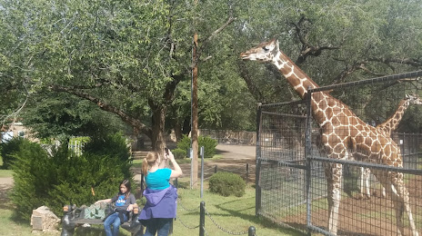
Photo
Where is located Hillcrest Park
Hillcrest Park — local attraction, which is located at 1001 Sycamore St, Clovis, NM 88101, United States and belongs to the category — park. Average visitor rating for this place — 4.4 (according to 613 ratings, information from open sources and relevant for 2022).
Exact location — Hillcrest Park, marked on the map with a red marker.
You can get directions to Hillcrest Park on the map from your location.
What else is interesting in Clovis? You can see all the sights if you go to the city page.
Coordinates
Hillcrest Park, United States coordinates in decimal format: latitude — 34.40832494820097, longitude — -103.18647297522611. When converted to degrees, minutes, seconds Hillcrest Park has the following coordinates: 34°24′29.97 north latitude and -103°11′11.3 east longitude.
Nearby cities
The largest cities that are located nearby:
- Amarillo — 153 km
- Lubbock — 154 km
- Albuquerque — 317 km
- Valencia — 320 km
- Abilene — 389 km
- El Paso — 421 km
- Ciudad Juarez
 (Mexico) — 426 km
 - Wichita Falls — 436 km
- Pueblo — 443 km
- Colorado Springs — 509 km
- Oklahoma City — 526 km
- Norman — 529 km
- Fort Worth — 576 km
- Denton — 577 km
- Arlington — 596 km
- Ciudad Acuna (Mexico) — 602 km
- Aurora — 605 km
- Grand Prairie — 606 km
- Carrollton — 607 km
Distance to the capital
Distance to the capital (Washington) is about — 2378 km.