 Mountrath
Abbeyleix
Carrick
Enniscorthy
Cabra
Sandyford
Letterkenny
Newbridge
Saggart
Ballymount
Castlebar
Drogheda
Greystones
Kilkenny
Roscommon
Navan
Cavan
Rathmines
Tullamore
Mountrath
Abbeyleix
Carrick
Enniscorthy
Cabra
Sandyford
Letterkenny
Newbridge
Saggart
Ballymount
Castlebar
Drogheda
Greystones
Kilkenny
Roscommon
Navan
Cavan
Rathmines
Tullamore
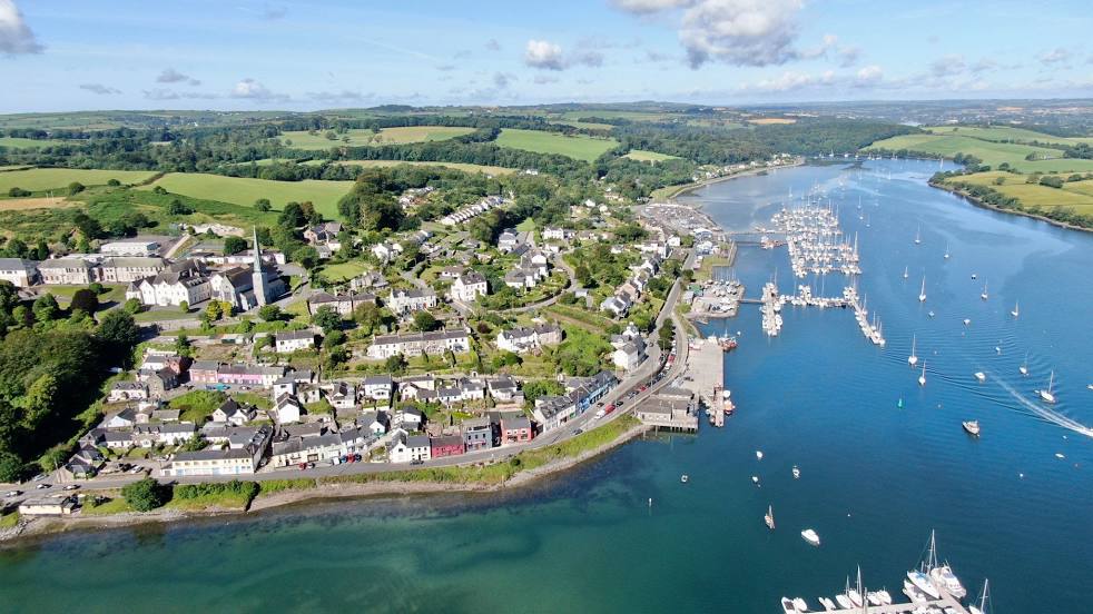
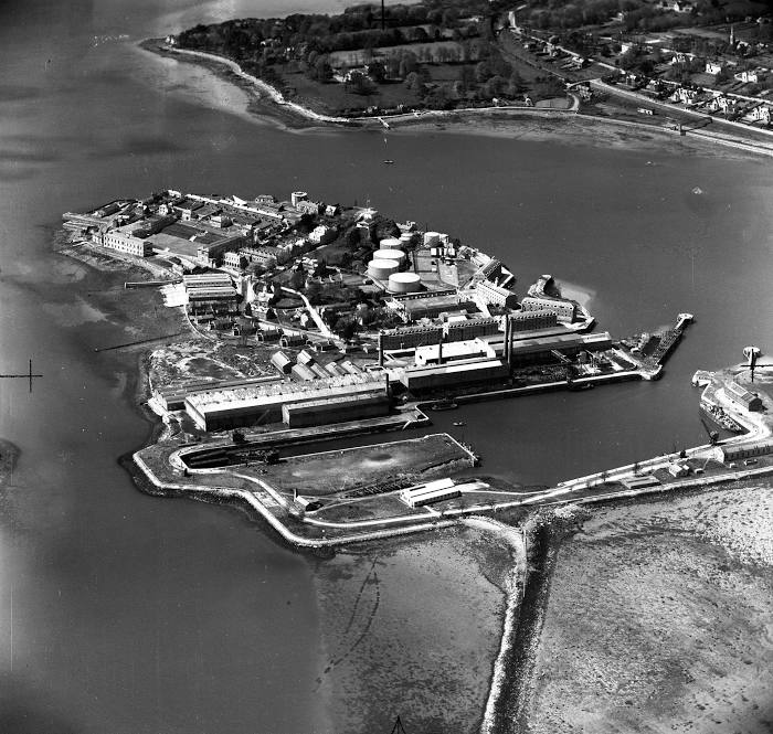
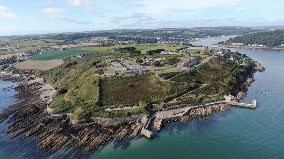
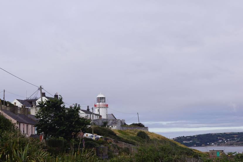
Cobh on the map, Ireland
Where is located Cobh
Exact location — Cobh, Cork, Cork, Ireland, marked on the map with a red marker.
Coordinates
Cobh, Ireland coordinates in decimal format: latitude — 51.8503357, longitude — -8.2942858. When converted to degrees, minutes, seconds Cobh has the following coordinates: 51°51′1.21 north latitude and -8°17′39.43 east longitude.
Population
Cobh, Cork, Cork, Ireland, according to our data the population is — 10,501 residents, which is about 0.2% of the total population of the country (Ireland).
Comparison of the population on the graph:
Exact time
Time zone for this location Cobh — UTC +1 Europe/Dublin. Exact time — monday, 5 may 2024 year, 09 h. 12 minutes.
Sunrise and sunset
Cobh, sunrise and sunset data for a date — monday 20.05.2024.
| Sunrise | Sunset | Day (duration) |
|---|---|---|
| 05:36 -1 minute | 21:23 +2 minutes | 15 h. 48 minutes. +3 minutes |
You can control the scale of the map using the auxiliary tools to find out exactly where it is located Cobh. When you change the scale of the map, the width of the ruler also changes (in kilometers and miles).
Nearby cities
The largest cities that are located nearby:
- Cork — 14 km
- Belfast
 (United Kingdom) — 339 km
 - Exeter (United Kingdom) — 356 km
- Liverpool (United Kingdom) — 390 km
- Bristol (Great Britain) — 396 km
- Telford (United Kingdom) — 403 km
- Worcester (Great Britain) — 413 km
- Preston (United Kingdom) — 422 km
- Cheltenham (United Kingdom) — 424 km
- Dudley (United Kingdom) — 424 km
- Stoke-on-Trent (United Kingdom) — 426 km
- West Bromwich (United Kingdom) — 430 km
- Blackburn (United Kingdom) — 434 km
- Birmingham (United Kingdom) — 437 km
- Manchester (United Kingdom) — 437 km
- Sutton Coldfield (United Kingdom) — 442 km
- Swindon (United Kingdom) — 449 km
- Coventry (United Kingdom) — 461 km
- Bournemouth (United Kingdom) — 466 km
Distance to neighboring capitals:
- London (United Kingdom) — 564 km
- Nicosia
 — 3769 km
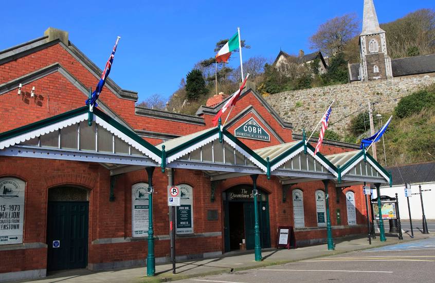
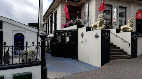
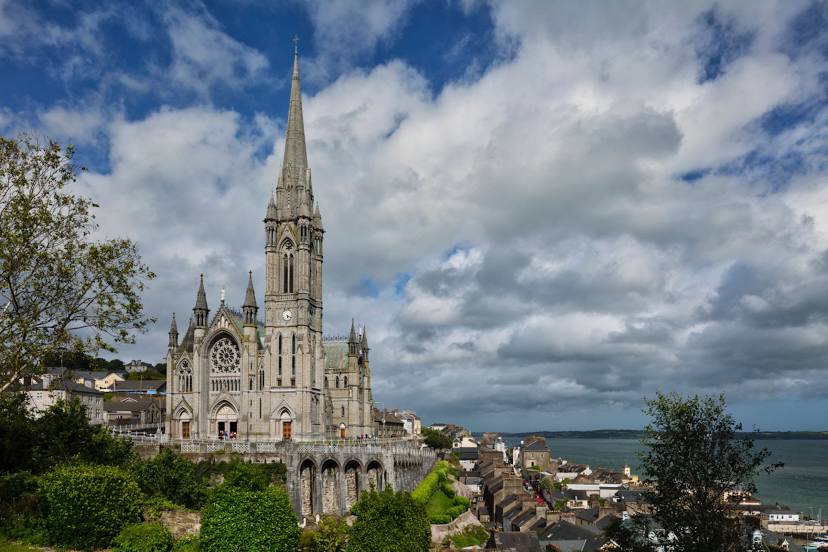
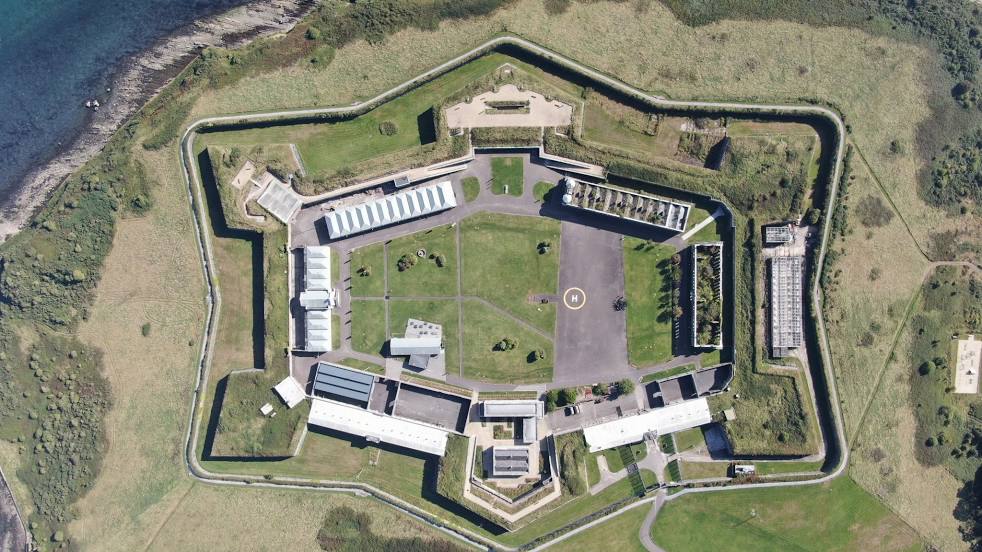
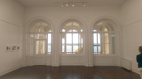
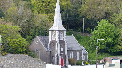
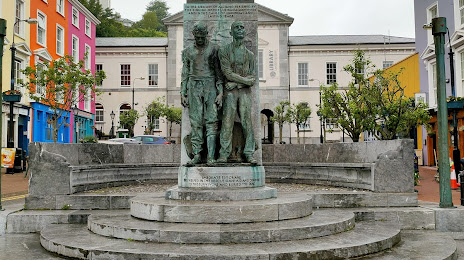
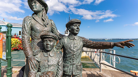
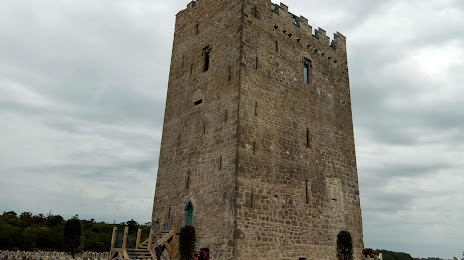
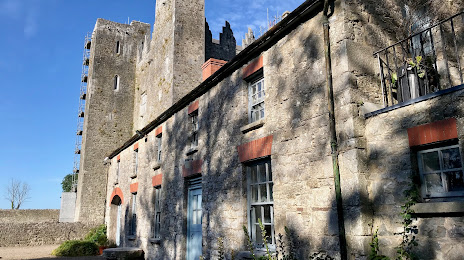
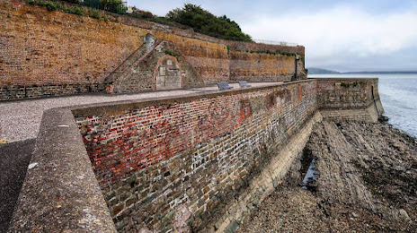
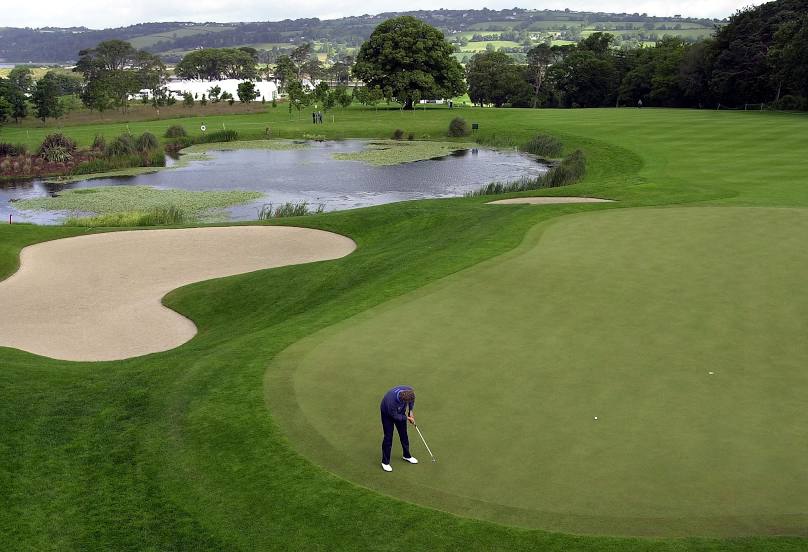
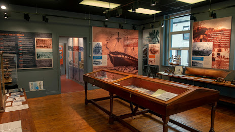
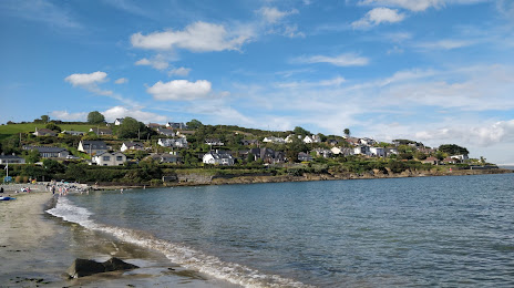
Attractions


Distance to the capital
Distance to the capital (Dublin) is about — 216 km.