
 Warner Robins
Wantagh
Bethel
Misty Hill Farm
United States
Wakonda Beach (R33) Airport
Wilmington
Poland
Miami International Airport
Warner Robins
Wantagh
Bethel
Misty Hill Farm
United States
Wakonda Beach (R33) Airport
Wilmington
Poland
Miami International Airport
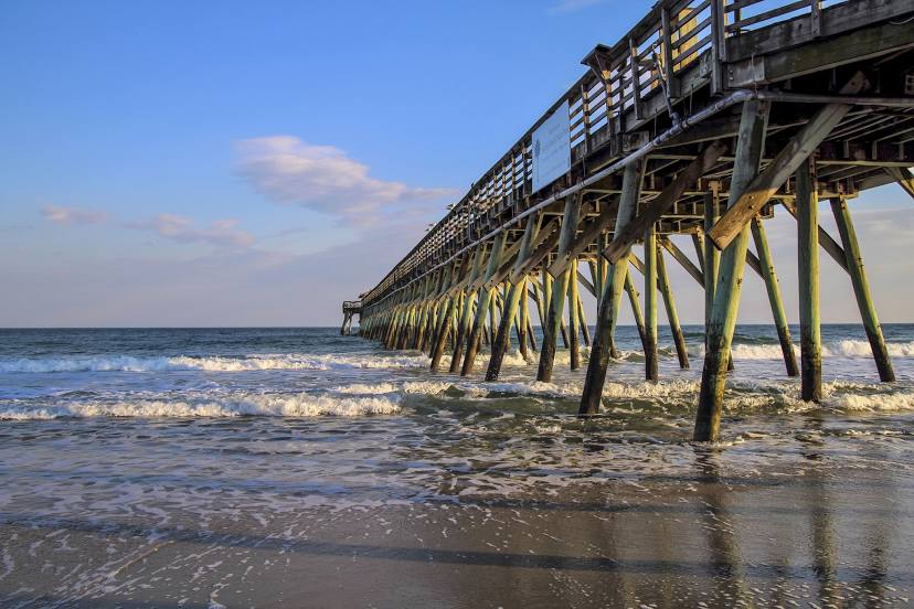
Myrtle Beach State Park Pier on the map, Myrtle Beach, United States
Photo
Where is located Myrtle Beach State Park Pier
Myrtle Beach State Park Pier — local attraction, which is located at State Pier, Myrtle Beach, SC 29577, United States and belongs to the category — tourist attraction. Average visitor rating for this place — 4.7 (according to 1711 ratings, information from open sources and relevant for 2022).
Exact location — Myrtle Beach State Park Pier, marked on the map with a red marker.
You can get directions to Myrtle Beach State Park Pier on the map from your location.
What else is interesting in Myrtle Beach? You can see all the sights if you go to the city page.
Coordinates
Myrtle Beach State Park Pier, United States coordinates in decimal format: latitude — 33.65076900007904, longitude — -78.93181257739028. When converted to degrees, minutes, seconds Myrtle Beach State Park Pier has the following coordinates: 33°39′2.77 north latitude and -78°55′54.53 east longitude.
Nearby cities
The largest cities that are located nearby:
- Charleston — 140 km
- Fayetteville — 151 km
- Columbia — 200 km
- Raleigh — 232 km
- Cary — 233 km
- Charlotte — 245 km
- Durham — 255 km
- Savannah — 273 km
- Greensboro — 276 km
- Winston-Salem — 293 km
- Chesapeake — 411 km
- Norfolk — 418 km
- Hampton — 432 km
- Virginia Beach — 434 km
- Richmond — 444 km
- Jacksonville — 456 km
- Atlanta — 506 km
- Knoxville — 516 km
- Gainesville — 555 km
Distance to the capital
Distance to the capital (Washington) is about — 609 km.