
 Campli
Santa Teresa Gallura
Lavello
Martina Franca
Castelplanio
Marcellinara
Segariu
Vigodarzere
Solaro
Susegana
Dicomano
Savoia di Lucania
Serramazzoni
Castel Guelfo di Bologna
Tortona
Sale
Galliate
Truccazzano
Caltagirone
Campli
Santa Teresa Gallura
Lavello
Martina Franca
Castelplanio
Marcellinara
Segariu
Vigodarzere
Solaro
Susegana
Dicomano
Savoia di Lucania
Serramazzoni
Castel Guelfo di Bologna
Tortona
Sale
Galliate
Truccazzano
Caltagirone
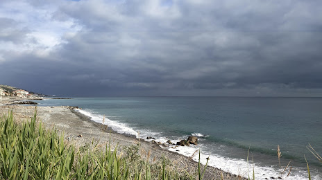
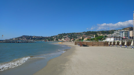
Taggia on the map, Italy
Where is located Taggia
Exact location — Taggia, Imperia, Liguria, Italy, marked on the map with a red marker.
Coordinates
Taggia, Italy coordinates in decimal format: latitude — 43.8621898, longitude — 7.8539797. When converted to degrees, minutes, seconds Taggia has the following coordinates: 43°51′43.88 north latitude and 7°51′14.33 east longitude.
Population
Taggia, Imperia, Liguria, Italy, according to our data the population is — 12,367 residents, which is about 0% of the total population of the country (Italy).
Comparison of the population on the graph:
Exact time
Time zone for this location Taggia — UTC +2 Europe/Rome. Exact time — sunday, 6 june 2024 year, 16 h. 05 minutes.
Sunrise and sunset
Taggia, sunrise and sunset data for a date — sunday 30.06.2024.
| Sunrise | Sunset | Day (duration) |
|---|---|---|
| 05:53 -0 minutes | 21:11 -0 minutes | 15 h. 18 minutes. -0 minutes |
You can control the scale of the map using the auxiliary tools to find out exactly where it is located Taggia. When you change the scale of the map, the width of the ruler also changes (in kilometers and miles).
Nearby cities
The largest cities that are located nearby:
- Nice
 (France) — 50 km
 - Genoa — 105 km
- Turin — 134 km
- Toulon (France) — 176 km
- Novara — 185 km
- Aix-en-Provence (France) — 196 km
- Livorno — 200 km
- Milan — 205 km
- Marseille (France) — 209 km
- Monza — 220 km
- Parma — 220 km
- Grenoble (France) — 221 km
- Bergamo — 247 km
- Modena — 256 km
- Prato — 259 km
- Brescia — 260 km
- Florence — 272 km
- Nimes (France) — 279 km
- Bologna — 284 km
Distance to neighboring capitals:
- Bern
 (Switzerland) — 345 km
 - Vaduz
 (Liechtenstein) — 387 km
 - Ljubljana
 (Slovenia) — 577 km
 - Zagreb
 (Croatia) — 676 km
 - Paris (France) — 697 km
- Paris (France) — 697 km
- Vienna
 (Austria) — 816 km
 - Berlin
 (Germany) — 1046 km
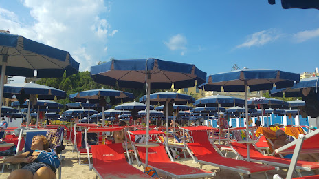
Attractions


Distance to the capital
Distance to the capital (Rome) is about — 437 km.