
 Warner Robins
Wantagh
Bethel
Misty Hill Farm
United States
Wakonda Beach (R33) Airport
Wilmington
Poland
Miami International Airport
Warner Robins
Wantagh
Bethel
Misty Hill Farm
United States
Wakonda Beach (R33) Airport
Wilmington
Poland
Miami International Airport
Galveston Island State Park on the map, Galveston, United States
Photo
Where is located Galveston Island State Park
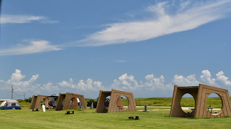
Galveston Island State Park — local attraction, which is located at 14901 FM3005, Galveston, TX 77554, United States and belongs to the category — state park. Average visitor rating for this place — 4.5 (according to 1950 ratings, information from open sources and relevant for 2022).
Exact location — Galveston Island State Park, marked on the map with a red marker.
You can get directions to Galveston Island State Park on the map from your location.
What else is interesting in Galveston? You can see all the sights if you go to the city page.
Coordinates
Galveston Island State Park, United States coordinates in decimal format: latitude — 29.20326853907884, longitude — -94.966219275355. When converted to degrees, minutes, seconds Galveston Island State Park has the following coordinates: 29°12′11.77 north latitude and -94°57′58.39 east longitude.
Nearby cities
The largest cities that are located nearby:
- Houston — 75 km
- Beaumont — 107 km
- Lafayette — 284 km
- Austin — 301 km
- Corpus Christi — 304 km
- Waco — 333 km
- Killeen — 342 km
- San Antonio — 356 km
- Shreveport — 370 km
- Baton Rouge — 371 km
- Mesquite — 418 km
- Dallas — 427 km
- Grand Prairie — 432 km
- Garland — 434 km
- Arlington — 436 km
- Irving — 437 km
- Richardson — 441 km
- Plano — 447 km
- Fort Worth — 449 km
Distance to the capital
Distance to the capital (Washington) is about — 1968 km.