
 Warner Robins
Wantagh
Bethel
Misty Hill Farm
United States
Wakonda Beach (R33) Airport
Wilmington
Poland
Miami International Airport
Warner Robins
Wantagh
Bethel
Misty Hill Farm
United States
Wakonda Beach (R33) Airport
Wilmington
Poland
Miami International Airport
Jack Brooks Park on the map, Texas City, United States
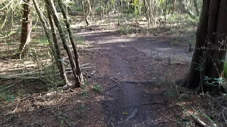
Photo
Where is located Jack Brooks Park
Jack Brooks Park — local attraction, which is located at 5700 FM 2004 &, Hwy 6, Hitchcock, TX 77563, United States and belongs to the category — park. Average visitor rating for this place — 4.6 (according to 331 rating, information from open sources and relevant for 2022).
Exact location — Jack Brooks Park, marked on the map with a red marker.
You can get directions to Jack Brooks Park on the map from your location.
What else is interesting in Texas City? You can see all the sights if you go to the city page.
Coordinates
Jack Brooks Park, United States coordinates in decimal format: latitude — 29.362577473644503, longitude — -95.0370610553925. When converted to degrees, minutes, seconds Jack Brooks Park has the following coordinates: 29°21′45.28 north latitude and -95°2′13.42 east longitude.
Nearby cities
The largest cities that are located nearby:
- Houston — 61 km
- Beaumont — 107 km
- Austin — 288 km
- Lafayette — 291 km
- Corpus Christi — 300 km
- Waco — 319 km
- Killeen — 329 km
- San Antonio — 346 km
- Shreveport — 364 km
- Baton Rouge — 378 km
- Mesquite — 406 km
- Dallas — 414 km
- Grand Prairie — 420 km
- Garland — 422 km
- Arlington — 424 km
- Irving — 424 km
- Richardson — 429 km
- Plano — 435 km
- Fort Worth — 436 km
Distance to the capital
Distance to the capital (Washington) is about — 1962 km.