
 Warner Robins
Wantagh
Bethel
Misty Hill Farm
United States
Wakonda Beach (R33) Airport
Wilmington
Poland
Miami International Airport
Warner Robins
Wantagh
Bethel
Misty Hill Farm
United States
Wakonda Beach (R33) Airport
Wilmington
Poland
Miami International Airport
Delnor-Wiggins Pass State Park on the map, Bonita Springs, United States
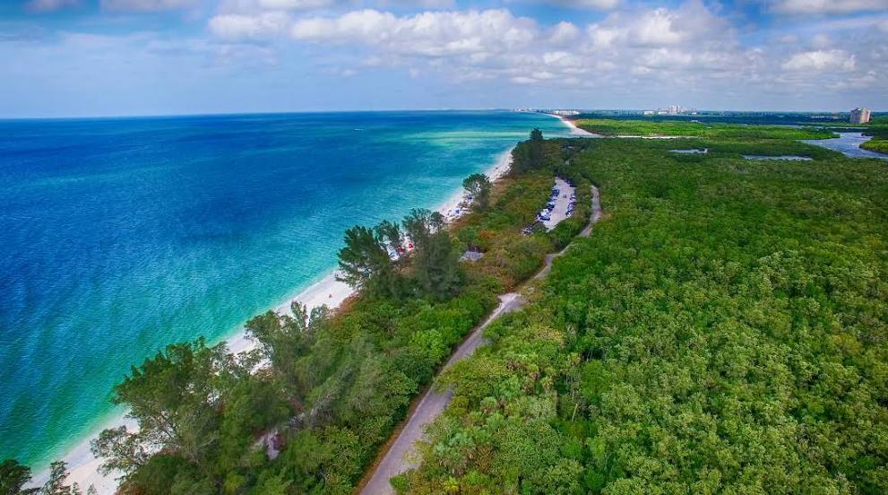
Photo
Where is located Delnor-Wiggins Pass State Park
Delnor-Wiggins Pass State Park — local attraction, which is located at 11135 Gulf Shore Dr, Naples, FL 34108, United States and belongs to the category — state park. Average visitor rating for this place — 4.8 (according to 3143 ratings, information from open sources and relevant for 2022).
Exact location — Delnor-Wiggins Pass State Park, marked on the map with a red marker.
You can get directions to Delnor-Wiggins Pass State Park on the map from your location.
What else is interesting in Bonita Springs? You can see all the sights if you go to the city page.
Coordinates
Delnor-Wiggins Pass State Park, United States coordinates in decimal format: latitude — 26.3568314283424, longitude — -81.80987291173534. When converted to degrees, minutes, seconds Delnor-Wiggins Pass State Park has the following coordinates: 26°21′24.59 north latitude and -81°48′35.54 east longitude.
Nearby cities
The largest cities that are located nearby:
- Cape Coral — 30 km
- Coral Springs — 150 km
- Miramar — 152 km
- Pembroke Pines — 152 km
- Hialeah — 159 km
- Fort Lauderdale — 165 km
- Hollywood — 166 km
- Miami — 170 km
- Port Saint Lucie — 174 km
- Saint Petersburg — 179 km
- Brandon — 183 km
- Tampa — 190 km
- Clearwater — 206 km
- Orlando — 246 km
- Havana
 (Cuba) — 355 km
 - Matanzas (Cuba) — 367 km
- Gainesville — 370 km
- Jacksonville — 442 km
- Nassau
 (The Bahamas) — 466 km
Distance to the capital
Distance to the capital (Washington) is about — 1465 km.