
 Warner Robins
Wantagh
Bethel
Misty Hill Farm
United States
Wakonda Beach (R33) Airport
Wilmington
Poland
Miami International Airport
Warner Robins
Wantagh
Bethel
Misty Hill Farm
United States
Wakonda Beach (R33) Airport
Wilmington
Poland
Miami International Airport
Fermilab on the map, North Aurora, United States
Photo
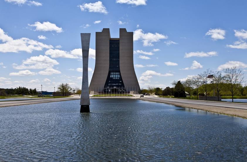
Where is located Fermilab
Fermilab — local attraction, which is located at Kirk and, Pine St W, Batavia, IL 60510, United States and belongs to the category — laboratory. Average visitor rating for this place — 4.8 (according to 529 ratings, information from open sources and relevant for 2022).
Exact location — Fermilab, marked on the map with a red marker.
You can get directions to Fermilab on the map from your location.
What else is interesting in North Aurora? You can see all the sights if you go to the city page.
Coordinates
Fermilab, United States coordinates in decimal format: latitude — 41.836346408253455, longitude — -88.26362627501078. When converted to degrees, minutes, seconds Fermilab has the following coordinates: 41°50′10.85 north latitude and -88°15′49.05 east longitude.
Nearby cities
The largest cities that are located nearby:
- Aurora — 5 km
- Naperville — 16 km
- Joliet — 37 km
- Chicago — 58 km
- Rockford — 81 km
- Milwaukee — 140 km
- Peoria — 162 km
- Madison — 165 km
- South Bend — 172 km
- Grand Rapids — 250 km
- Fort Wayne — 278 km
- Indianapolis — 291 km
- Green Bay — 301 km
- Lansing — 323 km
- Ann Arbor — 379 km
- Saint Louis — 387 km
- Toledo — 394 km
- Flint — 398 km
- Evansville — 429 km
Distance to the capital
Distance to the capital (Washington) is about — 1005 km.