
 Warner Robins
Wantagh
Bethel
Misty Hill Farm
United States
Wakonda Beach (R33) Airport
Wilmington
Poland
Miami International Airport
Warner Robins
Wantagh
Bethel
Misty Hill Farm
United States
Wakonda Beach (R33) Airport
Wilmington
Poland
Miami International Airport
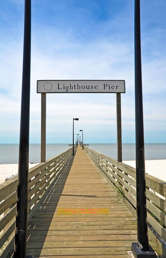
Biloxi Lighthouse Pier on the map, Biloxi, United States
Photo
Where is located Biloxi Lighthouse Pier
Biloxi Lighthouse Pier — local attraction, which is located at 1045-1059 Beach Blvd, Biloxi, MS 39530, United States and belongs to the category — fishing pier. Average visitor rating for this place — 4.5 (according to 33 ratings, information from open sources and relevant for 2022).
Exact location — Biloxi Lighthouse Pier, marked on the map with a red marker.
You can get directions to Biloxi Lighthouse Pier on the map from your location.
What else is interesting in Biloxi? You can see all the sights if you go to the city page.
Coordinates
Biloxi Lighthouse Pier, United States coordinates in decimal format: latitude — 30.39373613714064, longitude — -88.90136987532719. When converted to degrees, minutes, seconds Biloxi Lighthouse Pier has the following coordinates: 30°23′37.45 north latitude and -88°54′4.93 east longitude.
Nearby cities
The largest cities that are located nearby:
- Mobile — 87 km
- New Orleans — 124 km
- Metairie — 130 km
- Baton Rouge — 215 km
- Jackson — 243 km
- Lafayette — 300 km
- Montgomery — 325 km
- Birmingham — 395 km
- Tallahassee — 439 km
- Beaumont — 503 km
- Shreveport — 511 km
- Huntsville — 523 km
- Memphis — 536 km
- Atlanta — 555 km
- Little Rock — 572 km
- Chattanooga — 607 km
- Houston — 626 km
- Gainesville — 636 km
- Clearwater — 652 km
Distance to the capital
Distance to the capital (Washington) is about — 1438 km.