
 Warner Robins
Wantagh
Bethel
Misty Hill Farm
United States
Wakonda Beach (R33) Airport
Wilmington
Poland
Miami International Airport
Warner Robins
Wantagh
Bethel
Misty Hill Farm
United States
Wakonda Beach (R33) Airport
Wilmington
Poland
Miami International Airport
Burnt Village Park on the map, Fort Atkinson, United States
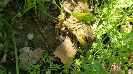
Photo
Where is located Burnt Village Park
Burnt Village Park — local attraction, which is located at County Rd N, Fort Atkinson, WI 53538, United States and belongs to the category — park. Average visitor rating for this place — 4.6 (according to 23 ratings, information from open sources and relevant for 2022).
Exact location — Burnt Village Park, marked on the map with a red marker.
You can get directions to Burnt Village Park on the map from your location.
What else is interesting in Fort Atkinson? You can see all the sights if you go to the city page.
Coordinates
Burnt Village Park, United States coordinates in decimal format: latitude — 42.914851020687195, longitude — -88.77949837497664. When converted to degrees, minutes, seconds Burnt Village Park has the following coordinates: 42°54′53.46 north latitude and -88°46′46.19 east longitude.
Nearby cities
The largest cities that are located nearby:
- Madison — 48 km
- Rockford — 76 km
- Milwaukee — 76 km
- Aurora — 136 km
- Naperville — 142 km
- Chicago — 153 km
- Joliet — 167 km
- Green Bay — 187 km
- South Bend — 254 km
- Peoria — 255 km
- Grand Rapids — 256 km
- Lansing — 348 km
- Fort Wayne — 370 km
- Saint Paul — 401 km
- Minneapolis — 414 km
- Flint — 416 km
- Indianapolis — 417 km
- Des Moines — 421 km
- Ann Arbor — 423 km
Distance to the capital
Distance to the capital (Washington) is about — 1082 km.