
 Warner Robins
Wantagh
Bethel
Misty Hill Farm
United States
Wakonda Beach (R33) Airport
Wilmington
Poland
Miami International Airport
Warner Robins
Wantagh
Bethel
Misty Hill Farm
United States
Wakonda Beach (R33) Airport
Wilmington
Poland
Miami International Airport
Ski Ward Ski Area on the map, Worcester, United States
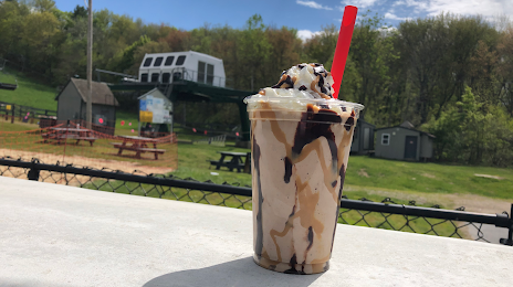
Photo
Where is located Ski Ward Ski Area
Ski Ward Ski Area — local attraction, which is located at 1000 Main St, Shrewsbury, MA 01545, United States and belongs to the category — ski resort. Average visitor rating for this place — 4.2 (according to 479 ratings, information from open sources and relevant for 2022).
Exact location — Ski Ward Ski Area, marked on the map with a red marker.
You can get directions to Ski Ward Ski Area on the map from your location.
What else is interesting in Worcester? You can see all the sights if you go to the city page.
Coordinates
Ski Ward Ski Area, United States coordinates in decimal format: latitude — 42.30144757080927, longitude — -71.6830411749961. When converted to degrees, minutes, seconds Ski Ward Ski Area has the following coordinates: 42°18′5.21 north latitude and -71°40′58.95 east longitude.
Nearby cities
The largest cities that are located nearby:
- Lowell — 57 km
- Amherst — 57 km
- Cambridge — 58 km
- Providence — 58 km
- Boston — 62 km
- Springfield — 67 km
- Manchester — 86 km
- Hartford — 91 km
- Waterbury — 129 km
- New Haven — 141 km
- Bridgeport — 166 km
- Stamford — 197 km
- Yonkers — 229 km
- Paterson — 248 km
- New York — 252 km
- Brooklyn — 253 km
- Newark — 261 km
- Elizabeth — 268 km
- Edison — 292 km
Distance to the capital
Distance to the capital (Washington) is about — 589 km.